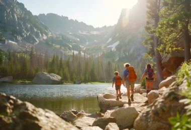
I like looking down from high places. To do so is exhilarating, provides lovely views, and makes me feel like I am on top of the world….as long as it’s not too high. But no worries about snowshoeing too high in the Midwest. Most elevations in this area are not anywhere as high as places in the east and west.
Comparing Elevations Across The U.S.
Our highest elevation in Wisconsin is Timm’s Hill at 1,951.5 feet (594.8 m) above sea level, while Michigan’s highest is Mount Arvon in the Upper Peninsula at 1,979 feet (603 m). In Minnesota, Eagle Mountain, at 2,301 feet (701 m), is located in the Boundary Waters Canoe Area Wilderness and Superior National Forest.
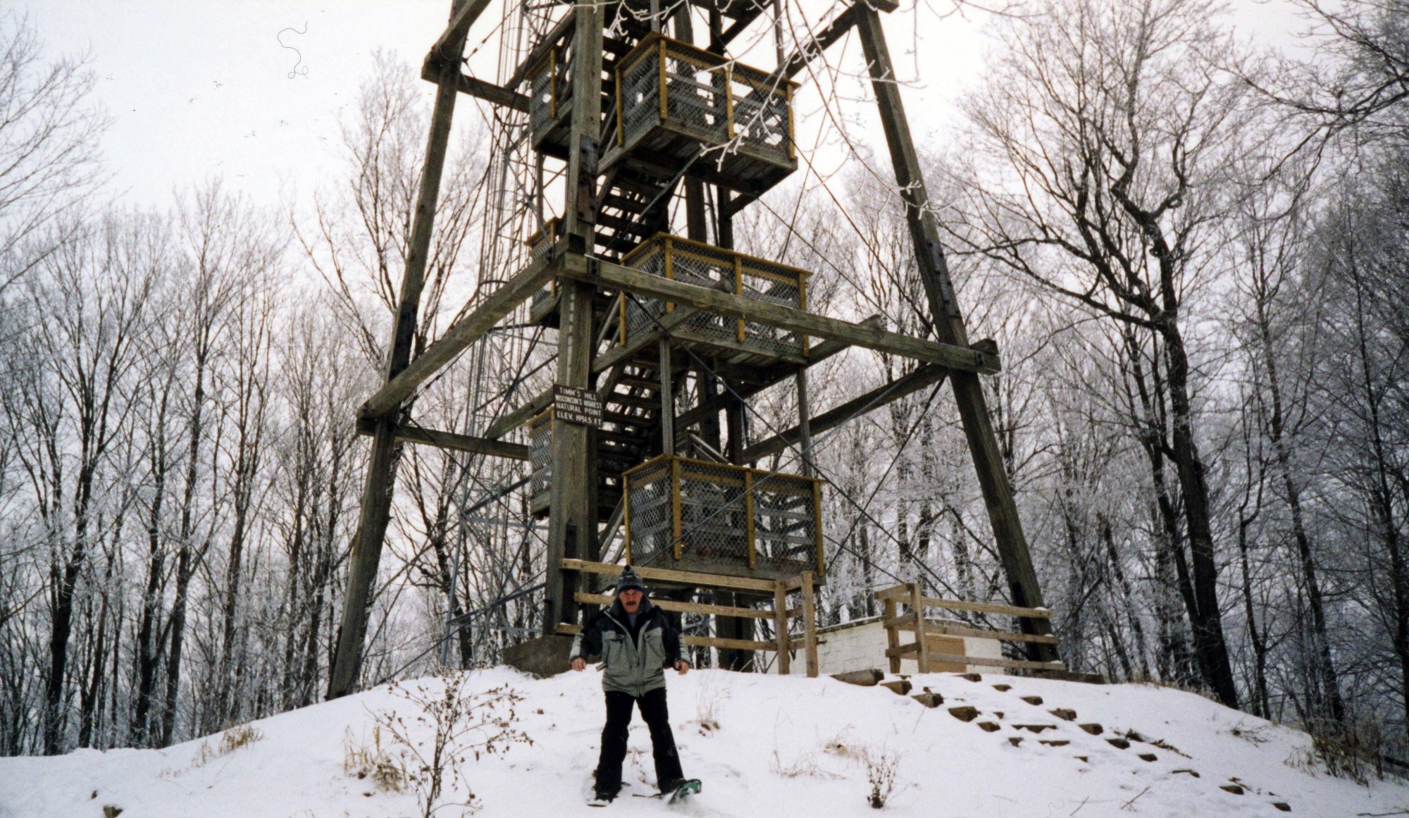
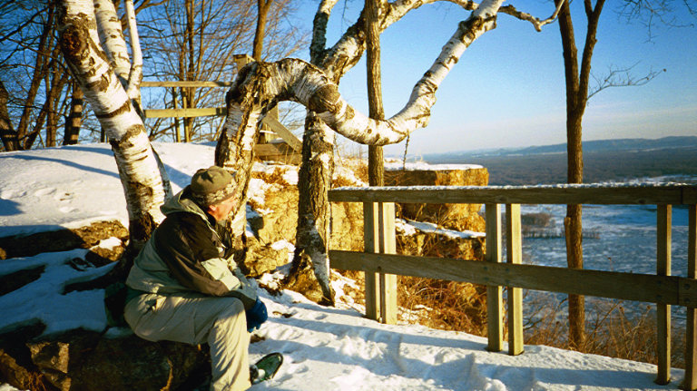
The author, as he’s coming down from Timm’s Hill Tower after satisfying his need to see the area from up high.
Midwest mountains/hills are a much lower elevation in comparison to the highest elevation in the east. For example, Mount Mitchel sits at 6,684 feet (2037 m) in the Appalachian Mountains, and in the continental west, Mount Whitney in the Sierra Mountains of California rises to 14,494 feet (4417.7m).
However, the biggest mountain in the United States is in the Alaska Range. Located in Denali National Park, Denali (also called Mount McKinley) has an elevation of 20,310 feet (6190 m).
There is really no comparison as to what part of the country is highest in elevation. It surely is not the Midwest. So I am safe snowshoeing not too high where I come from in Wisconsin.
Read More: Snowshoeing In The Midwest (A Little Different Than East or West)
A view of Trempealeau Mountain and the Mississippi River from the top of Brady’s Bluff
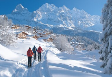
High Elevation Snowshoeing In The Midwest
I will introduce you to a half dozen select locations in Wisconsin, Minnesota, and the Upper Peninsula of Michigan. Here, you can get up high on snowshoes….but not too high.
In the Cheesehead State – Snowshoeing In Wisconsin
High elevation snowshoe areas in Wisconsin, including Timm’s Hill and Brady’s Bluff, offer extraordinary views of the vast forests and Mississippi valley.
Timm’s Hill
Located about 3 ½ miles (5.6 km) from the town of Ogema in northcentral Wisconsin is Timm’s Hill. Surprisingly, you would never know it to be the highest elevation in the state since Timm’s Hill County Park, and the surrounding area is nearly as high in altitude as the actual hill itself.
Unlike Wisconsin’s Rib Mountain (elevation 1,942 feet, 592 m)) where there is a marked distance of several hundred feet from the highest elevation to the land below, there is very little distance at Timm’s hill. Thus Timm’s Hill appears to be lower and Rib Mountain higher.
Read More: Snowshoeing On A Wisconsin Mountain (Rib Mountain)
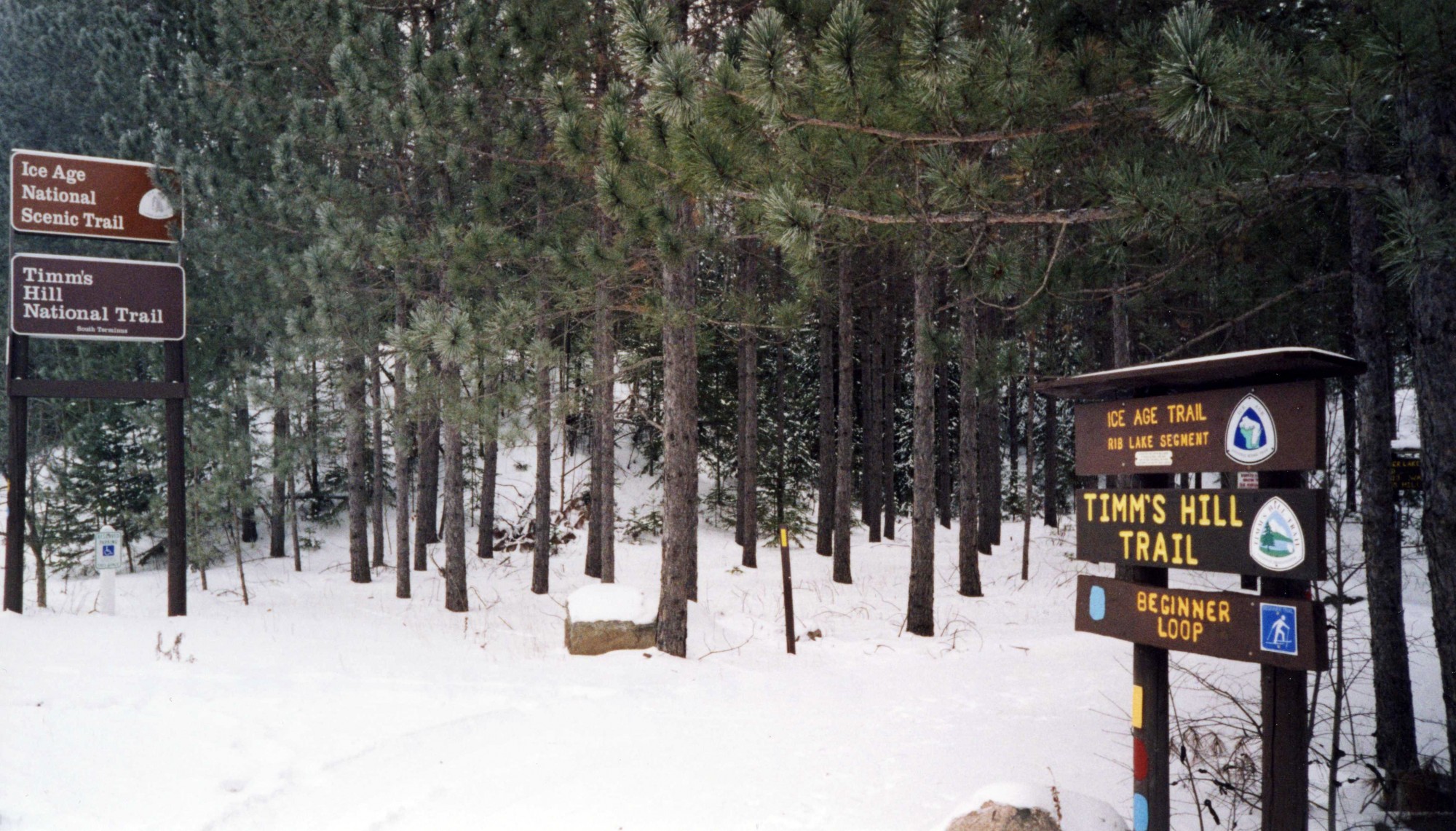
Signage pointing out the winter trails in the Timm’s Hill area
When I first visited Timm’s Hill, I looked for a high hill that stood out among the terrain but could never see any such rise. I parked my car in the park’s parking lot and hiked about 300 yards to a wooden observation tower. When I climbed the 50-foot (15m) tower, I could see the natural beauty of a mixed conifer and deciduous forest for miles.
Once I satisfied my craving for heights and took in the views, I climbed down from the tower and enjoyed snowshoeing around the 220-acre county park (see map). Bass Lake lies to the south of the hill where hemlock trees shelter part of this charming trail. To the north of the hill is a trail running along the south end of Timm’s Lake. Unique to the area is the 10-mile Timm’s Hill National Trail that connects with the Ice Age Trail and is accessible for snowshoeing and cross-country skiing.
Read More: Snowshoeing The Ice Age Scenic Trail
Brady’s Bluff
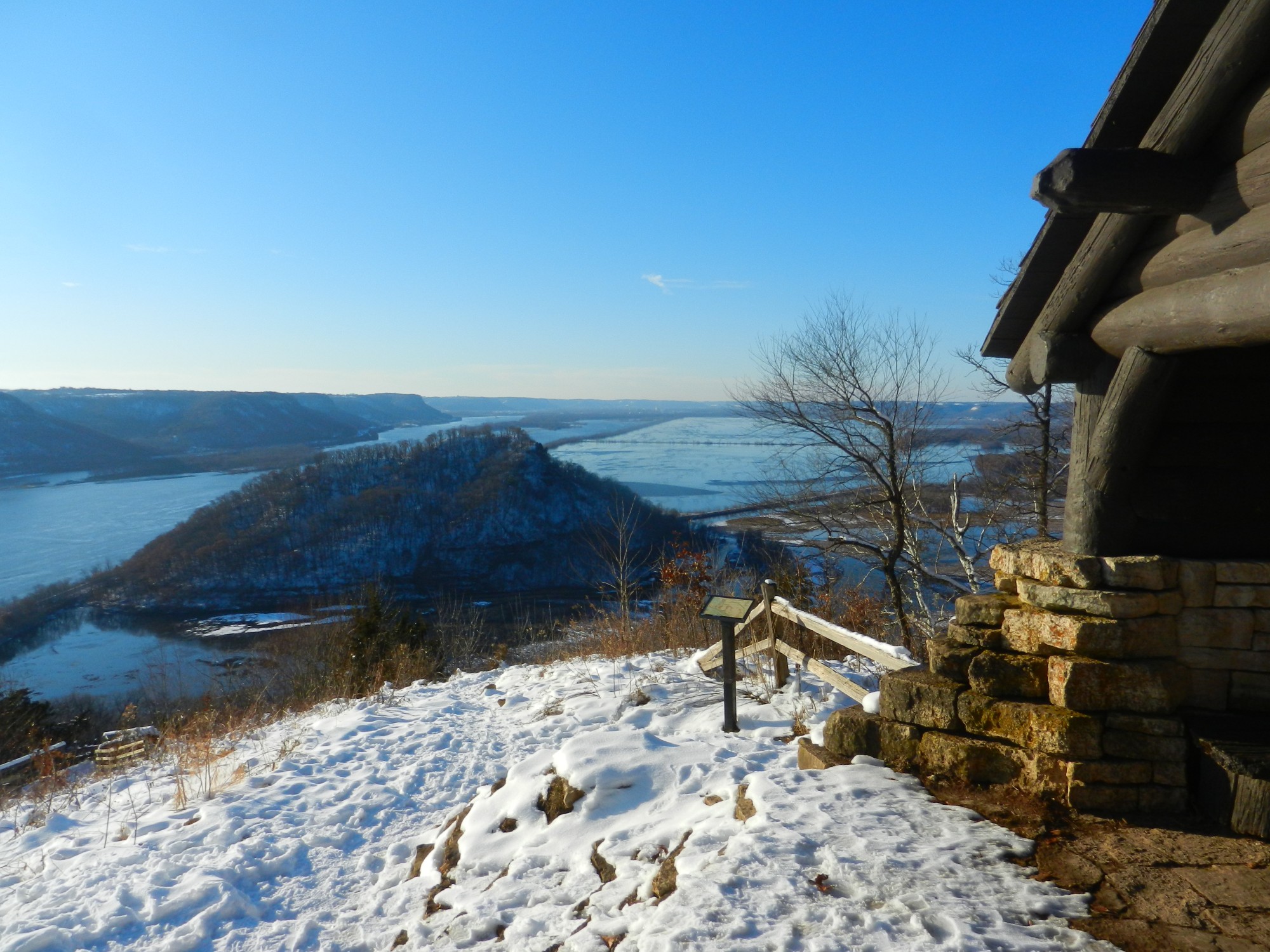
A high place that offers a magnificent view looking down on the Mississippi River Valley is a hidden gem of a hill called Brady’s Bluff in Wisconsin’s Perrot State Park. Located three miles from the small village of Trempealeau, this 1,270-acre park has been a favorite location of mine in all seasons. I have camped there and hiked on their many scenic trails.
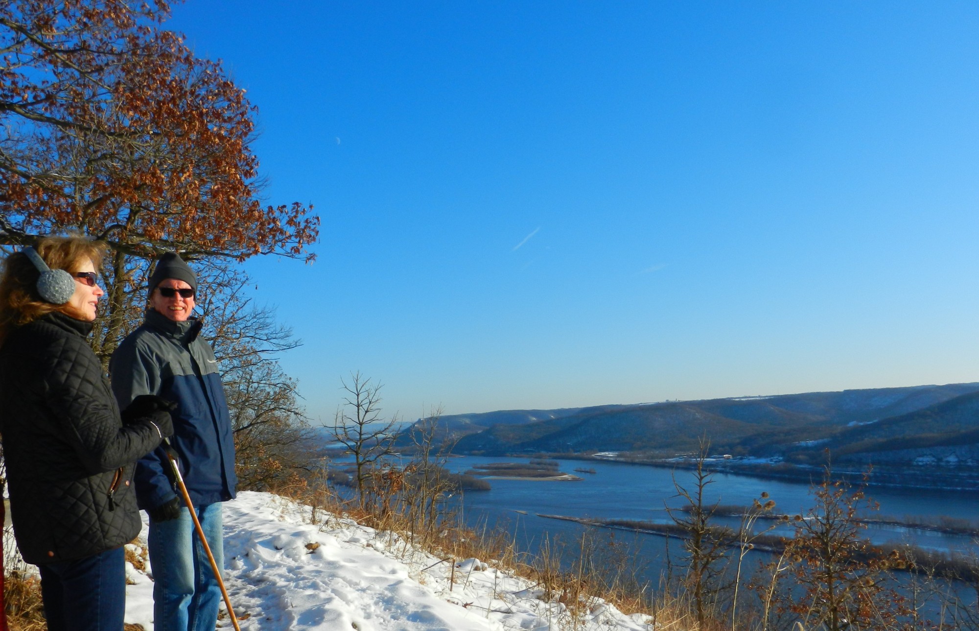
A couple catching a breathtaking view of the Mississippi River and Minnesota bluffs on the other side from atop Brady’s Bluff
In winter, snowshoeing is popular along those trails. My favorite hike is on any one of three Brady’s Bluff Trails – east, west, or north. Going to the top offers a breathtaking scene of the Mississippi River along with a view of the Minnesota bluffs and nearby Trempealeau Mountain. It is a steep hike up the 460-foot (140 m) hill that leads to the summit, but well worth the climb. A rustic shelter sits atop the hill providing a beautiful resting spot. Nearby Perrot Ridge also affords a nice vista from on top of its hill.
Perrot State Park has 12 ½ miles (20 km) of hiking trails, with several miles of trails groomed for cross-country skiing when snow conditions are favorable. Snowshoeing is allowed on any trail not groomed for skiing.
In Viking Territory – Minnesota
At high elevations in Minnesota, experience the gorgeous landscape of ravines, valleys at Great River Bluffs State Park, and frozen waterfalls and Lake Superior at Split Rock Lighthouse.
Great River Bluffs State Park
On the Minnesota side of the Mississippi River are bluff overlooks situated within the Great River Bluffs State Park. This 2,835-acre park is located about five miles (8 km) west of La Crescent and sits high up on bluffs in the southeastern part of the state.
A unique landscape of the park includes prairies, fields, and hardwood and pine forests. Over six miles (9.6 km) of trails in the park are groomed for skiing, and snowshoeing is permitted anywhere in the park except on groomed trails. I found the trail that runs parallel to the bluff’s edge to be enjoyable for snowshoeing.
Catching a view of the Mississippi River Valley from the East Overlook at Great River Bluffs State Park
Unique to the Mississippi River valley in this area is the bluffs and coulees (ravines and valleys between hills). These features provide a gorgeous landscape in all seasons from below and above. When in the Great River Bluffs State Park, trails will lead to four bluff overlooks that offer captivating views of the river valley.
The North Overlook and South Overlook are less than 0.2 of a mile (0.3 km) apart and close to the main parking lot. The East Overlook is about a mile (1.6 km) east of the lot and passes by the campground. The King’s Bluff Trail is a picturesque one ¼-mile (2 km) hike through the King’s and Queen’s Bluff Scenic and Natural Area, with interpretive signage along the way to the King’s Bluff Overlook.
Snowshoeing to any of the four overlooks will provide a quality adventure with spectacular views. Park officials advise taking caution when hiking on trails to overlooks or along steep slopes.
Read More: Snowshoeing Minnesota’s Scenic Bluff Country
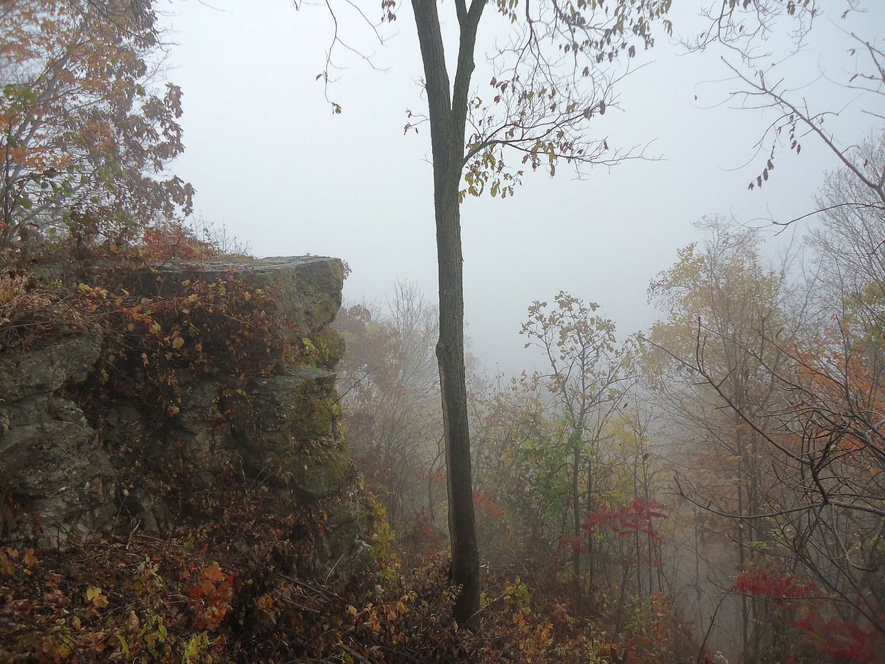
Scenic forest fog in Great River Bluffs State Park. Image by PublicDomainPictures from Pixabay
Split Rock Lighthouse
A delightful sight for me was looking out at majestic Lake Superior. Along its rocky-bluff coastline from atop a 130-foot (39.6 m) cliff sits the Split Rock Lighthouse. On the North Shore of Minnesota just off state Highway 61 near Two Harbors is the Split Rock Lighthouse Historic Site (also a National Historic Landmark) and the 2,200-acre Split Rock Lighthouse State Park.
Although the lighthouse site is open year-round, the lighthouse and interior of the historic buildings are not open in winter. However, the Split Rock Lighthouse grounds around the lighthouse and buildings are free for roaming on snowshoes, as well as for catching a spectacular view of Lake Superior. With limited hours in winter, the Visitor Center is open for checking out exhibits and visiting the museum store.
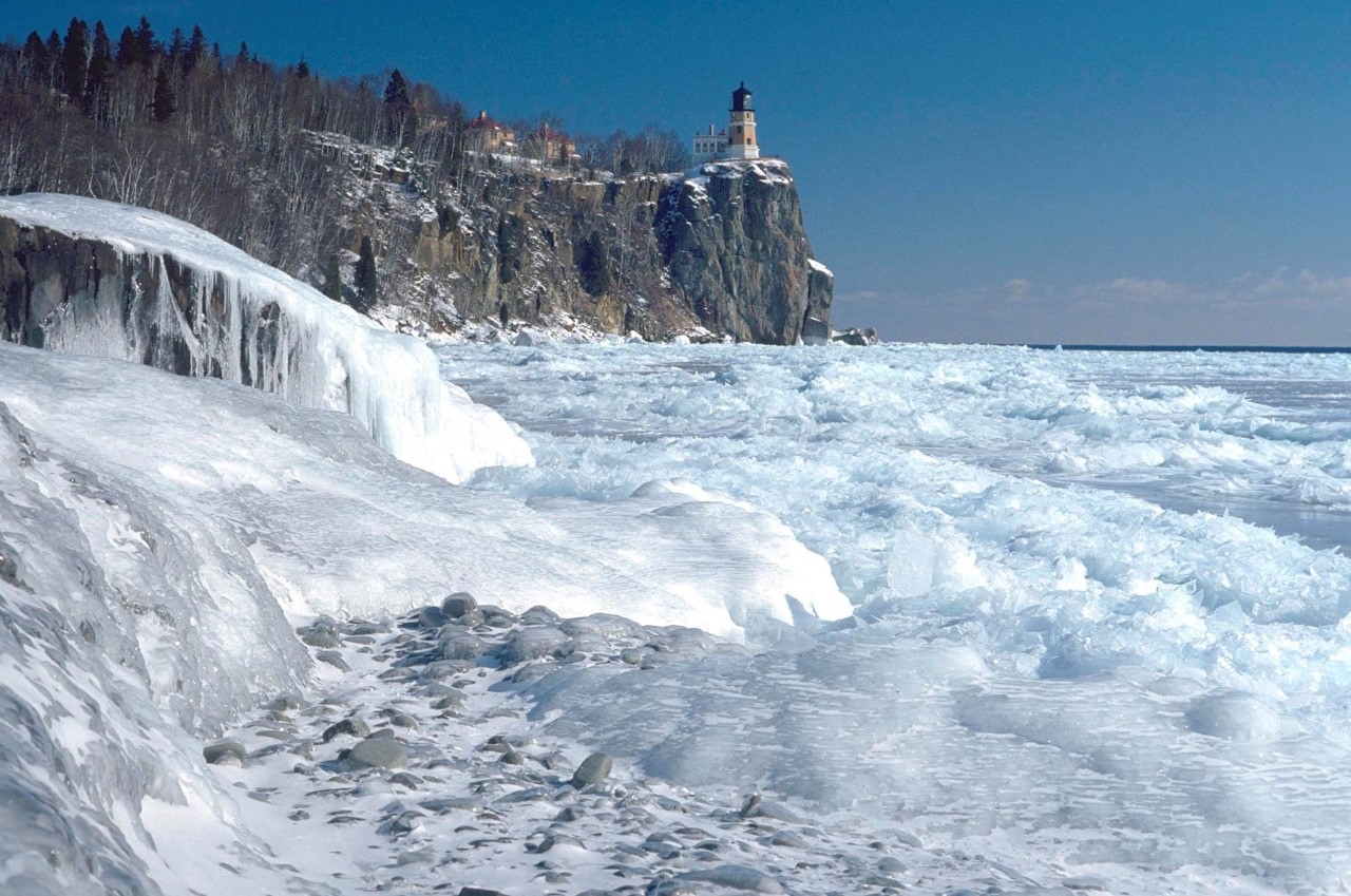
An icy scene of Lake Superior with Split Rock Lighthouse atop a 130-foot cliff. Photo courtesy of the Minnesota Department of Natural Resources
For getting more use out of your snowshoes, take advantage of the state park’s trails that lead to frozen waterfalls and other remarkable lake scenes. The Little Two Harbors Trail is a 3/4-mile (1.2 km) hike from the Trail Center and is great for taking in views of the shoreline, an island, and a small fishing village.
Additionally, for the more robust snowshoer, there is a four ½-mile (7.2 km) loop along a rugged footpath on the Superior Hiking Trail to frozen waterfalls. Park officials say to stick to trails because ice is never safe.
Read More: Snowshoe Minnesota’s North Shore: State Parks & The Superior Hiking Trail
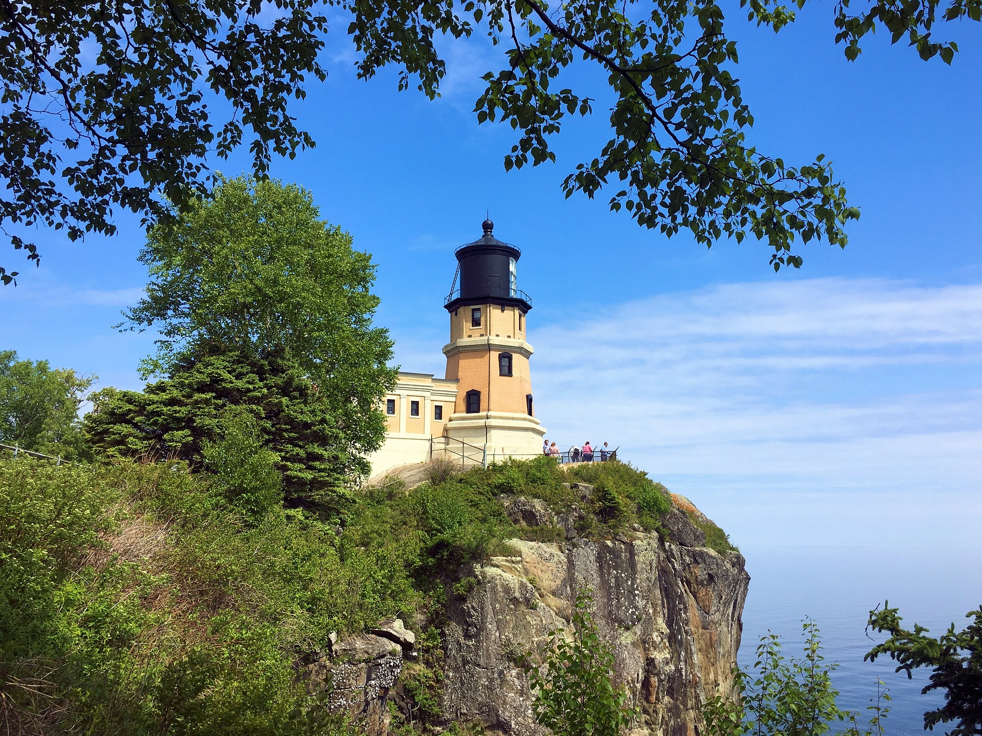
Split Rock Lighthouse, Image by Mike Goad from Pixabay
In Yooperland – Upper Michigan
Snowshoeing to high elevations in upper Michigan offers solitude, history, and a winter wonderland of grand sights of the snow-capped forests and bluffs.
Read More: What’s a Yooper and What’s A Yooper Doing On Snowshoes?
Fayette Historic State Park
Tucked away on a peninsula in Upper Michigan that juts into Big Bay de Noc on the north end of Lake Michigan is a historic park that partially surrounds a small bay. Located in this park was once a booming iron smelting industry and community. Now it is a ghost town.
Fayette Historic State Park, located on the southeast end of the Garden Peninsula, has 711 acres with remnants of 20 old buildings and smelting furnace ruins that border Snail Shell Harbor. There are also a campground, boat docks, and visitor center. Distinctive to the park is mixed hardwood and conifer forest with old-growth cedars, which sits atop a stately limestone bluff that spans the east side of the harbor.
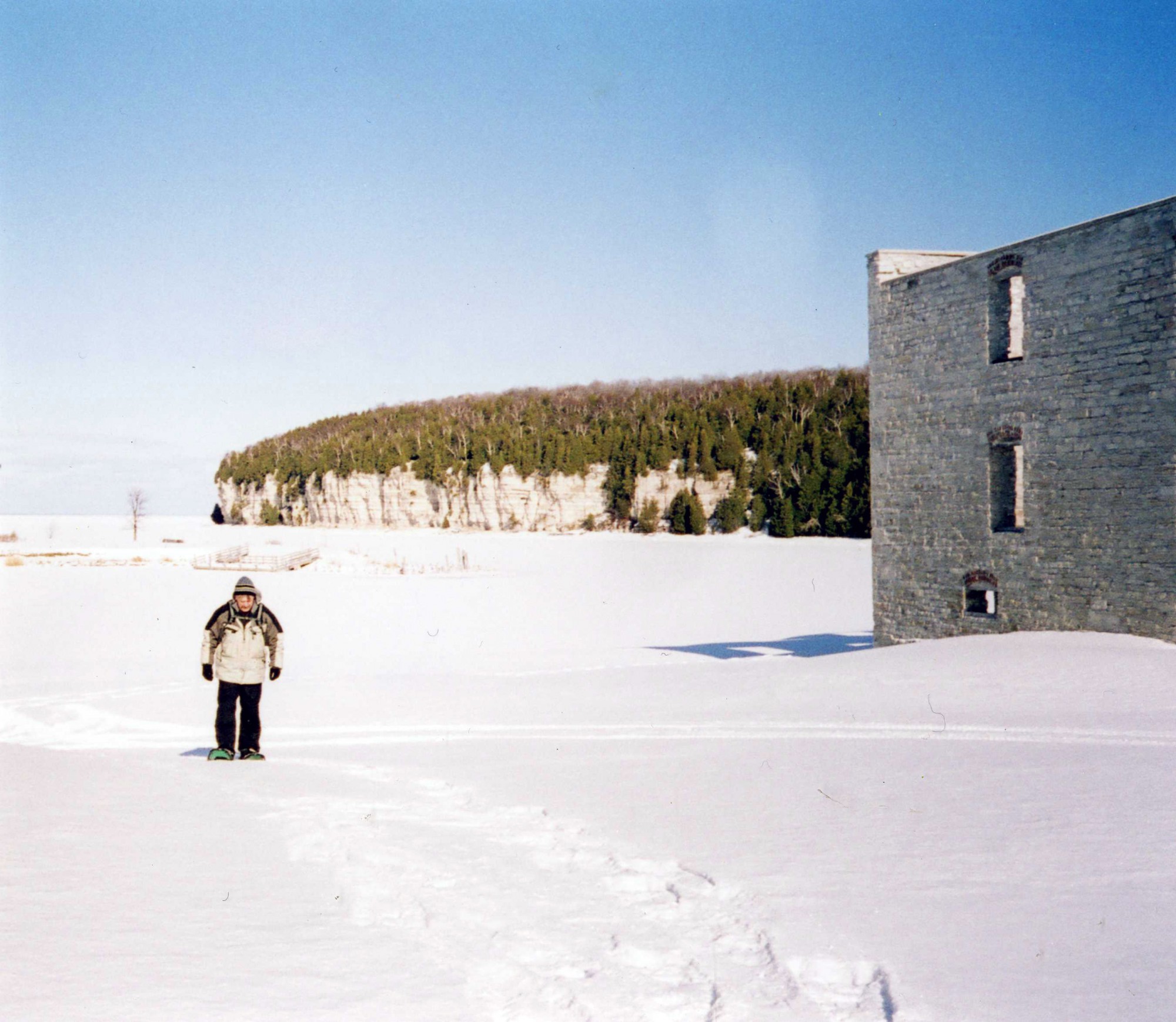
Snowshoeing among the ruins at Fayette Historic State Park with the harbor and limestone bluff in the background
Of particular interest to the winter enthusiast is 5 miles (8 km) of hiking trails for cross-country skiing and snowshoeing. However, few people visit the park in winter, providing the snowshoer some solitude and tranquility. On my visit, I snowshoed among the buildings and marveled at the silence of the harbor, knowing that over a century ago, this small town hustled with sights and sounds of an active community.
I then began climbing a mile-long trail that took me to the top of the bluff. Here, I was able to get my fix of views from high places. Below me were the harbor ghost town and Big Bay de Noc. Thus, I was rewarded with grand sights from up high in four lookout areas along the trail, each with a unique perspective. Furthermore, exploring history adds to the quality of a snowshoeing hike. In this area, Fayette Historic State Park offers a quality hike well worth the visit.
Trap Hills
For solitude and a good workout snowshoeing to high places, the Trap Hills in the Ottawa National Forest is undoubtedly the place. Located in northwest Upper Michigan, this 34-mile (54.7 km) long forested range is remote, and its trails are rarely traveled. About three miles (4.8 km) north of the small town of Bergland, the rugged Trap Hills begins on the west end.
The North Country Trail traverses the length of the hills with significant dips in elevation at times. On the east end of the trail is Lookout Mountain that overlooks Victoria Reservoir. Below also sits Old Victoria, a small historic copper-mine ghost town from the 1800s.
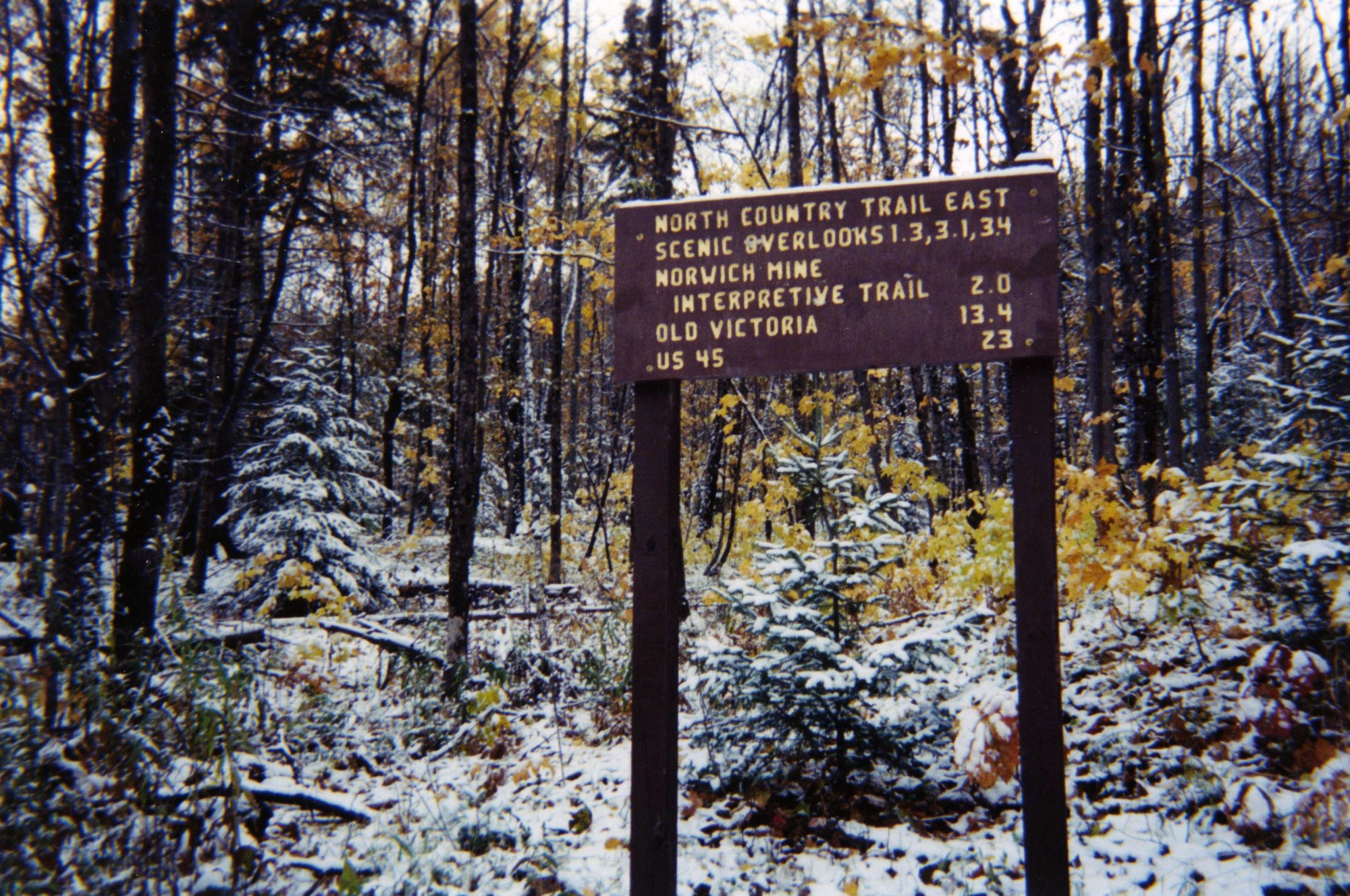
One of several trail markers leading to scenic overlooks along the North Country Trail in the Trap Hills of Upper Michigan
Access To North Country Trail In The Trap Hills
In the summer, there are several roads, including forest roads that lead to the North Country Trail in the Trapp Hills. However, in winter, snowshoeing options are limited, since only three of those roads are plowed. All three winter access roads are at trailheads that go onto the North Country Trail.
The first road that is plowed is Highway M-64 out of Bergland. The parking spot for one car at the Bergland Hill trailhead may or may not be plowed. From there, the 1.4-mile (2.25 km) hike on the North Country Trail to Bergland Hill summit has a long climb of 700 feet (213 m).
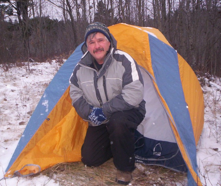
The second road which is plowed is Norwich Road. But the parking area at the Norwich Bluff trailhead is not, so shoveling out a spot to park is the only option. The hilly hike to Norwich Bluff provides exceptional vistas along the way. When camping there early in the season, I woke to a winter wonderland of fresh snow. Seeing a snow-capped forest below from atop Norwich Bluff for as far as the eye can see was remarkable.
Finally, the third road that is plowed is Victoria Dam Road from the village of Rockland to Old Victoria on the east end. The Lookout Mountain trailhead provides an opportunity to snowshoe the half-mile (0.8 km) hike on the North Country Trail up to Lookout Mountain for a sensational view.
Be very careful as you snowshoe the bluff and ridge areas in the Trapp Hills. There are no fences, barriers, or posted warnings. And for sure, stay off rock ledges when covered with snow and ice, as they can be exceptionally dangerous.
Read More: Old Guys Suprise: Shoein’ In The Porkies
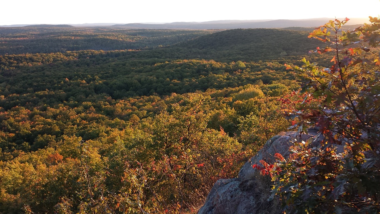
View overlooking the Trap Hills. Image by David Sieberg from Pixabay
Snowshoe High In The Midwest
Whether in Wisconsin, Minnesota, or Upper Michigan, I find it exciting and refreshing to snowshoe and experience views from up high. Elevation provides a totally different perspective than seeing the area from below. Snowshoeing to high places almost anywhere in the Midwest is, without a doubt, an adventure.
Read More: Northern Michigan & Wisconsin Snowshoeing Treasures
What’s your favorite area for snowshoeing up high in the Midwest?

Leave a Comment