What was the northernmost part of our country a million-plus years ago during the Ice Age? Well, mega ice sheets covered the landscape, and a third of the earth’s land was impacted. But, let’s look at Wisconsin specifically (obviously not a state back then).
About 10,000 years ago, the Ice Age slowly ended. The Wisconsin Glaciation took place around that time, leaving Wisconsin with a unique landscape of hills and depressions, gorges and dells, marshes and bogs, glacial carved streams, and lakes. There are also remnants of rocks and boulders left from moraines, Eskers, drumlins, and Kames. This almost sounds like a Dr. Seuss limerick. However, the latter are melt-water debris that piled into particular landforms. That is according to geologists and information I found in the “Ice Age Trail Companion Guide.”
The Ice Age Trail Is Born
In 1958, the Ice Age Park and Trail Foundation (now the Ice Age Trail Alliance as of 2009) was created, resulting in Wisconsin’s Ice Age Trail (IAT) formation. The IAT follows the ice age glacial activity path, with over a thousand miles of trail running through 31 Wisconsin counties. It is from the Door Peninsula at Green Bay and Lake Michigan to the Saint Croix River near the Minnesota border.
The IAT is formally the Ice Age National Scenic Trail, given that it is one of only 11 National Scenic and Historic Trails. The Carter Administration established it as such in 1980. Considering the IAT is entirely within Wisconsin, it is also one of 42 Wisconsin State Trails. Furthermore, it is the only one designated specifically as a “State Scenic Trail,” according to the WI Department of Natural Resources.
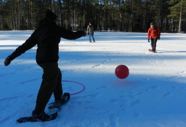
According to the IAT Alliance website, “More than one million people use the Ice Age Trail each year to hike and snowshoe, to backpack, to disconnect and reconnect.” In addition to snowshoeing, some sections of the trail are also open for cross-country skiing. And a few sections that correspond with a state rail-trail allow bicycling. A location I know of on a shared trail in Central Wisconsin allows snowmobiling. However, the IAT does not allow ATV’s or other motorized vehicles.
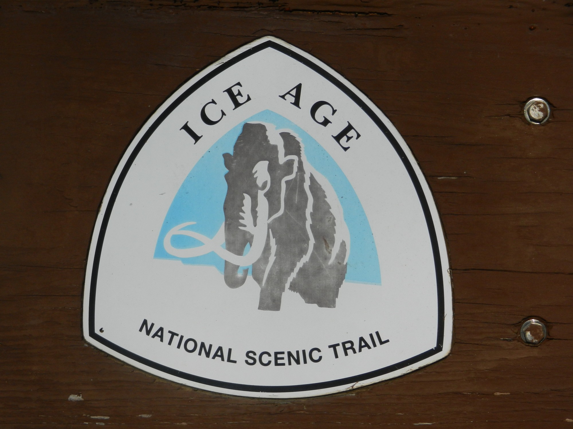
At the trailheads and on other signage, you’ll find this curved triangle. Yellow blazes mark IAT trail routes. Photo: Jim Joque
Continue Evolvement of the Trail
Approximately 600 miles of the 1,200-mile trail is complete, and the connecting routes link the unfinished segments. All of these pass-through city, county, and state parks, government forests, and private lands. Interestingly, the trail not only meanders through ever-changing landscapes, including forests, prairies, and farmland, but on occasion will take hikers into villages, towns, and cities. As the Alliance states on their website, “this is by design – the Ice Age Trail is meant to connect people and communities.”
Ongoing work to complete the trail continues as the land is purchased with donation funds and government grants. A partnership manages the trail and includes the Ice Age Trail Alliance, The Wisconsin Department of Natural Resources, and the National Park Service. But volunteers are the muscle behind the building, maintenance, and upkeep of the trail.
Some Segments to Snowshoe on the Ice Age Trail
The 1,200-mile IAT is divided into numerous segments. The intent in winter is not to try and snowshoe across the entire IAT. There are specific areas, however, with easy access trailheads that are available for short hikes.
The IAT itself does not have short circular routes. So, visitors would either select a specific location to snowshoe or find a segment that coincides with other trails that may provide a circular route.
To secure trail and segment information and maps, go to the IAT website at www.iceagetrail.org/trail-maps-guidebooks. Also, to follow the few segment descriptions and locations I mention below, click on this link, and you will find a more detailed map of Wisconsin and the IAT.
Access from Potawatomi State Park
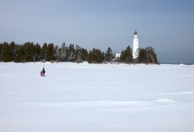
I started at the eastern end in Potawatomi State Park, just off Green Bay in the Door Peninsula. There are 2.8 miles of the IAT that run through the park, with a large part of the trail running parallel to Sturgeon Bay. You may see magnificent views of the bay and limestone cliffs along the way. From the park, the IAT heads out across the peninsula and then south. It runs parallel to Lake Michigan until eventually reaching heavily populated communities just west of Milwaukee.
Access from Milwaukee
Visitors to the Milwaukee area can head out to the Kettle Moraine State Forest, Northern Unit, or Southern Unit and strap on their snowshoes. There are roughly 31 miles of IAT to explore in the Northern Unit and another 30 miles in the Southern Unit. Both units offer varying glacial remnant terrain. For example, hiking across a high rolling ridge of an Esker and looking down into a glacial lake.
From there, the IAT travels west and then takes a turn northward, continuing past the far west edge of the Madison area of Wisconsin’s State Capitol. The 3.1-mile Madison Segment crosses the University Ridge Golf Course and a Dane County Parks prairie.

Snowshoe at Devil’s Lake on the Ice Age Trail, which offers views of a frozen glacial lake below. Photo: Jim Joque
Access from Devil’s Lake State Park
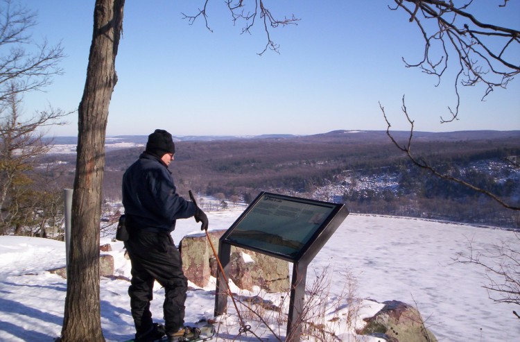
The IAT trail can be accessed at the popular Devil’s Lake State Park when coming from the north. It offers majestic views of massive boulders and rock formations sitting high above 500-foot quartzite bluffs and overlooking a 360-acre glacier-carved lake. The Devil’s Lake Segment passes along the east bluff, giving it a much closer look. The IAT website states, “This is arguably the most dramatic Ice Age Trail segment of all.”
Just north of Devil’s Lake, the trail segment splits into east and west branches. The west branch passes through the Dells of the Wisconsin River and Roche a Cri State Park, both with high bluffs, and then rejoins the east trail not far from Interstate-39.

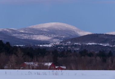
Scenic Eau Claire Dells gives witness to a miracle of the glacier.
Access from Wausau
The IAT continues north through several Wisconsin counties. It delves into woodlands and agricultural areas, which pass through the small kettle lakes and streams. East of Wausau is a wonderful stretch at the Eau Claire Dells Segment along the Eau Claire River. At the Dells of the Eau Claire County Park is a magnificent gorge with a waterfall flowing down into rock pools of churning water. Mylonite bedrock bluffs that line the pools and rivers are about 1.8 billion years old.
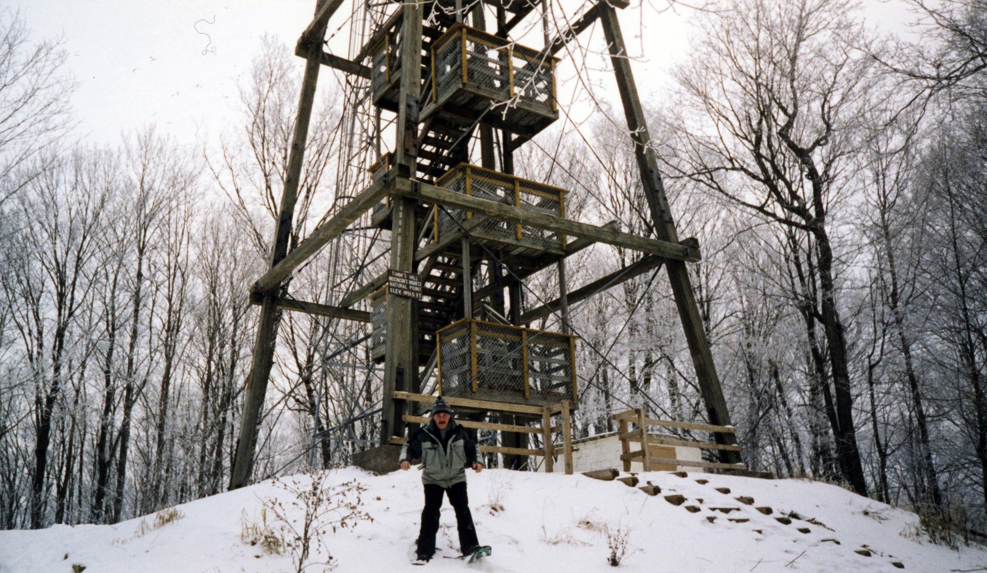
From there, the trail goes northeast into the next county before taking a sharp turn on the long stretch westward. In Lincoln County, you pass through the Harrison Hills Segment in Gleason, WI, to find the trail’s highest elevation of 1,875 feet above sea level on Lookout Mountain.
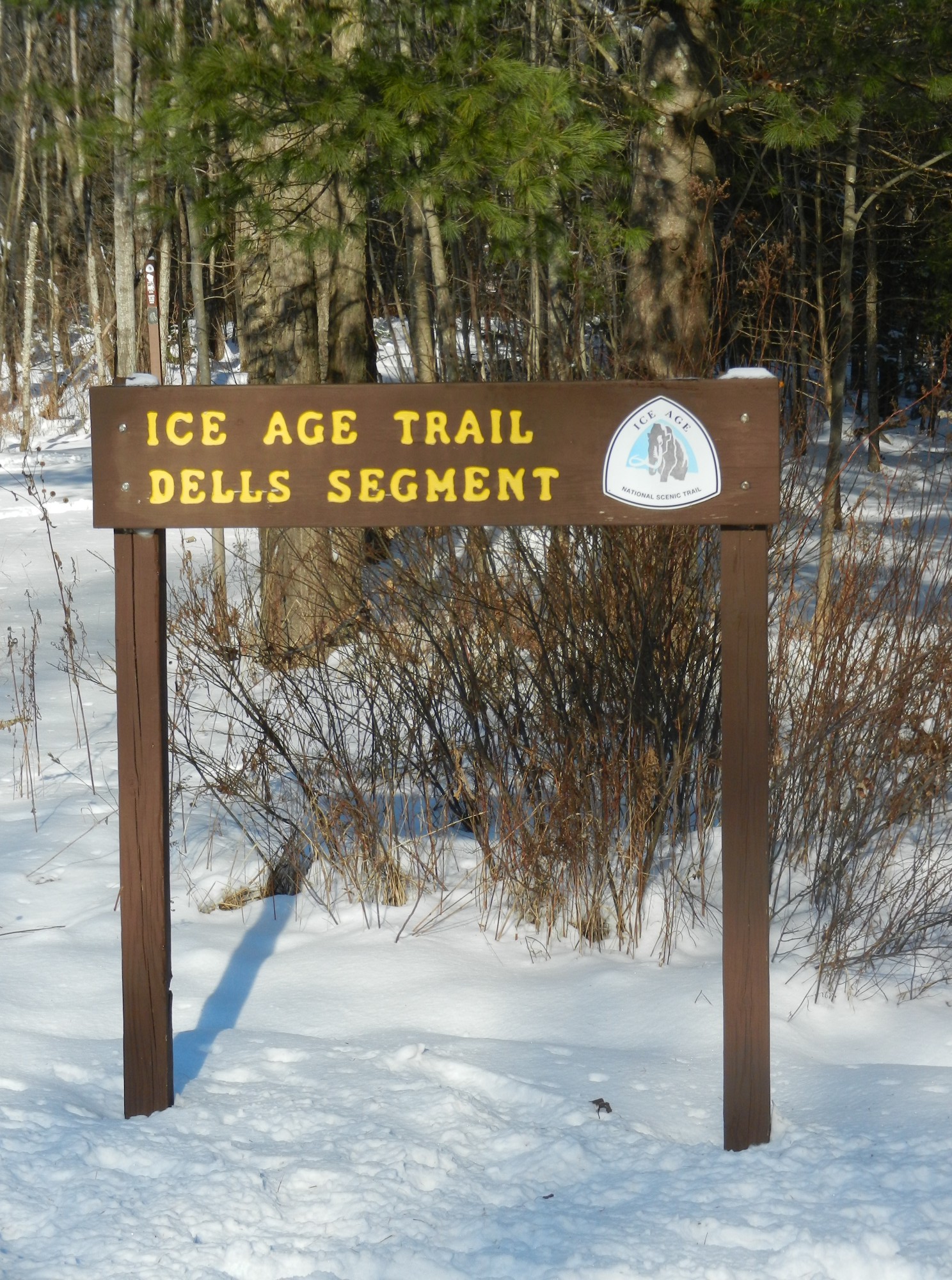
Welcome to the Ice Age Scenic Trail Dells Segment! Photo: Jim Joque
Access from Chequamegon-Nicolet National Forest
Continuing west, the IAT eventually passes through an area of the Chequamegon-Nicolet National Forest. The Jerry Lake Segment lies in the national forest. The IAT forms part of a circular trail along that segment as it joins with the Chippewa Lobe Interpretive Loop. This loop offers a challenging day hike through a scenic remote area called the Ice Age Primitive Area.
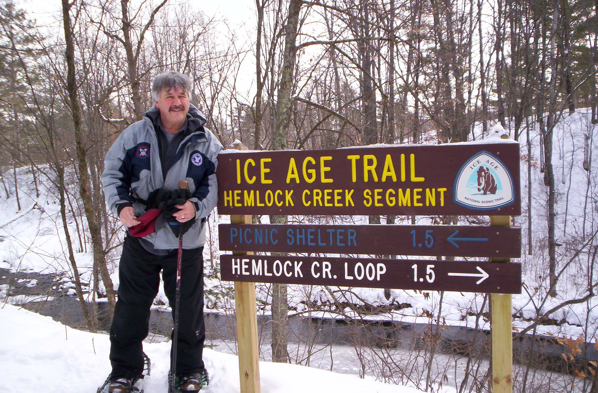
The IAT then takes a turn northwesterly. It comes upon the Hemlock Creek Segment before eventually reaching its most western location. This segment offers an enjoyable loop around Hemlock Creek and over a scenic footbridge.
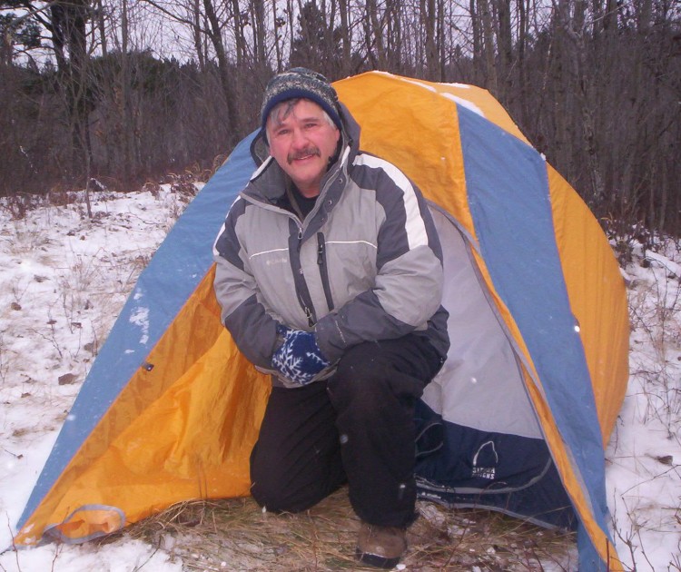
This author snowshoeing a scenic segment of the IAT.
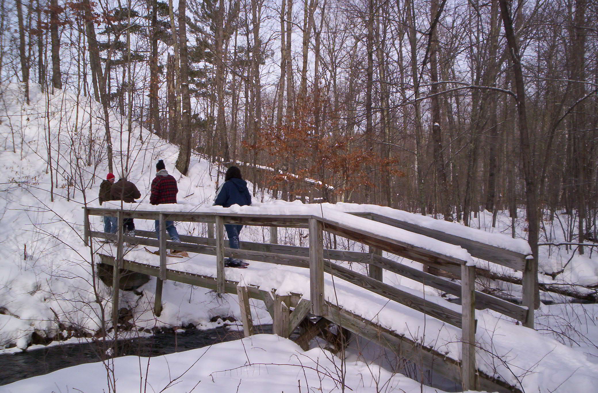
Snowshoers crossing a footbridge along the Hemlock Creek Segment. Photo: Jim Joque
Access From Interstate State Park
The final segment traverses west through farmlands and takes a southwest scenic dip to the end of the trail at Interstate State Park (Wisconsin’s first state park). It is on the St. Croix River, which passes through glacial potholes and rock lookouts. The IAT Companion Guide states that “The western terminus marker is affixed to a large glacial erratic on a basalt cliff overlooking the 100-foot-deep gorge of the Dalles of the St. Croix River.”
These are just a few of many IAT segments that I found of interest. Visit the Alliance’s online store for further trail segment information, or purchase a Guidebook or Atlas.
Would you snowshoe the Ice Age Trail? If you’ve been, what recommendations do you have? Please share your thoughts with us in the comments below.
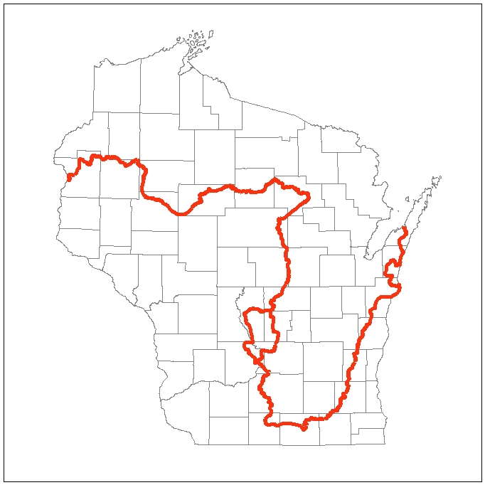
Wisconsin map with IAT in red – with permission from the Ice Age Trail Alliance
This article was originally published on September 26, 2017, and updated on August 9, 2022.
My husband and I snow shoe the Harrison Hills Segments. We absolutely love the Harrison Hills and find the snowshoeing here to be a challenge but it’s definitely worth the hike. One of our favorites is off of Ski Hill Road to the Chain Lake area. It is absolutely beautiful and a fairly easy hike. If we want a challenge we go off of Turtle Lake Road where the trail is much more hilly.
The Harrison Hills Segment is located in Gleason, WI.
Thanks for sharing your experience and the recommendations, Andrea! That segment looks beautiful and would be an excellent area for snowshoeing. I love natural areas and trailheads that offer easy and challenging hikes, so you can change it up based on how you feel and the amount of time you have to snowshoe. Here’s to a tremendous snowshoeing season! – Susan, Snowshoe Mag Editor
Combining snowshoe trips with history and culture study always enhances the experience.