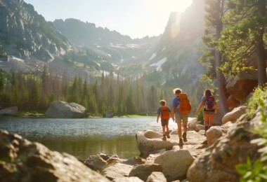
Deep in the middle of the eroded dome that is the Adirondack Mountains lies Mount Gray and a series of alpine lakes, including the humble source of the Hudson River. One late January Sunday morning, I set off on a snowshoeing trip with the goal of getting the most out of my day and reveling in the beauty of the frozen mountain landscape.
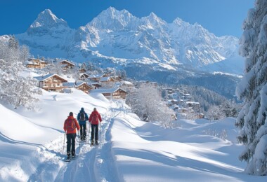
I chose to start the hike from the Adirondack Loj, in Lake Placid, which is a hub of outdoor activity in the winter. It was a Sunday, so there were already a few dozen cars in their parking lot. I headed out with my dog, Boomer, along the well-traveled trail to Marcy Dam. I decided to wear my snowshoes even though there was only a couple of inches of snow. I always hate having to stop to change gear around and they provided good traction on the icy trail. Dozens of popular hikes are accessed from the trail that heads to Marcy Dam, but even though I saw a few other groups, the path didn’t feel busy. I was glad for the brief company of those I did see. Everyone had a common sense of adventure and I was glad to see that other people were out on a warm day with rain in the forecast.
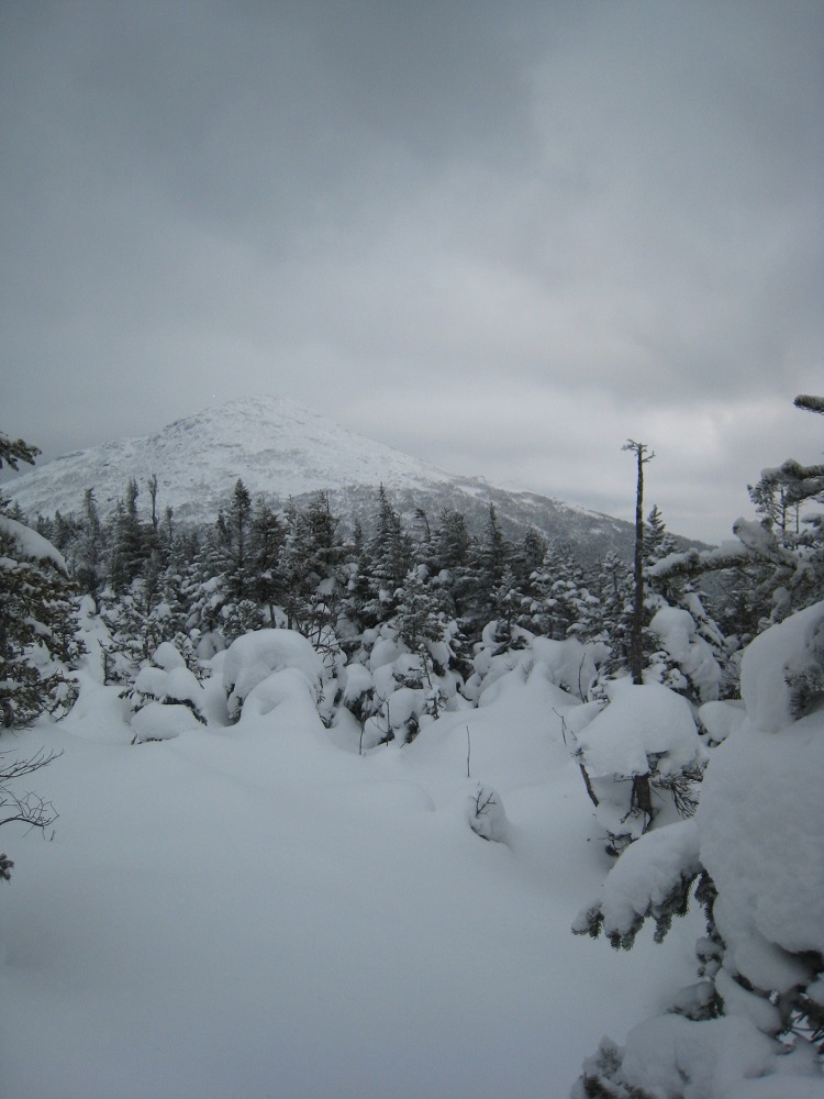
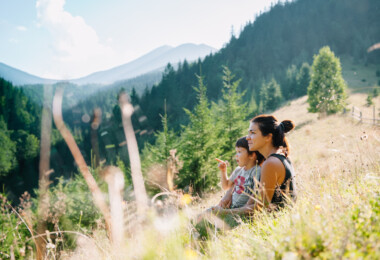
Boomer was also energetic and excited as we moved along, engaged by the smells of the woods and the activity along the trail. The feeling became contagious as I contemplated the day ahead. While I didn’t have a precise plan for our destination, I knew that our first big stop would be Mount Gray, which sits just to the west of Mount Marcy. At 4840 feet, Gray is the seventh highest mountain in New York State.
View from the summit of Mount Gray to nearby Mount Marcy
After a few quick, familiar miles, we reached the Dam with plenty of back-country campsites and a caretaker’s cabin. Numerous trails radiate from the site, which tends to be a hub of activity. An old skier with a scraggly beard paused briefly to chat as I dug for a water bottle inside my pack. Nearby, a small group took a break at one of the campsites, punctuating the cold, morning gloom with laughter.
I remember that the first time I had heard the name “Marcy Dam,” I felt a strong aversion to the place. As a general rule, I am not excited about hiking several miles to visit a man-made structure in the midst of beautiful mountains and forests, especially when it impedes the natural flow of a river. Marcy Dam was damaged in 2011 during Hurricane Irene and New York State’s Department of Environmental Conservation subsequently decided to gradually dismantle the dam, rather than rebuild. Now, each time I pass by the Dam, it’s with a slight sense of excitement, knowing that the place is slowly transitioning back to a more natural state and that eventually the area will be transformed into a river surrounded by vegetation.
After leaving Marcy Dam, we headed to Avalanche Camp and subsequently branched south-east towards Lake Arnold, a tiny alpine pool. Traffic on the trail finally subsided to just myself and several other people and we all passed each other intermittently. The trail gained elevation at a steady rate that was surprising to at least one of the hikers who I passed, The trail heads up, contouring around the side of Mount Colden and providing exhilarating views of the surrounding mountains before dropping down to the Feldspar Lean-to. From Feldspar, we took a left at a trail intersection to head east, gaining elevation, separated from Feldspar Brook by an embankment. Soon, we came to the source of the Brook, and the Hudson River, tiny Lake Tear of the Clouds. The tarn is nestled in a small alpine valley between Mount Marcy, Mount Skylight, and Gray Peak. The lake marks the start of the “herdpath” up Gray. In the Adirondacks, a herdpath is an un-marked and un-maintained trail. The herdpaths are fairly well-traveled but are often narrower than most trails. Some even appear on maps as a testament to their popularity.
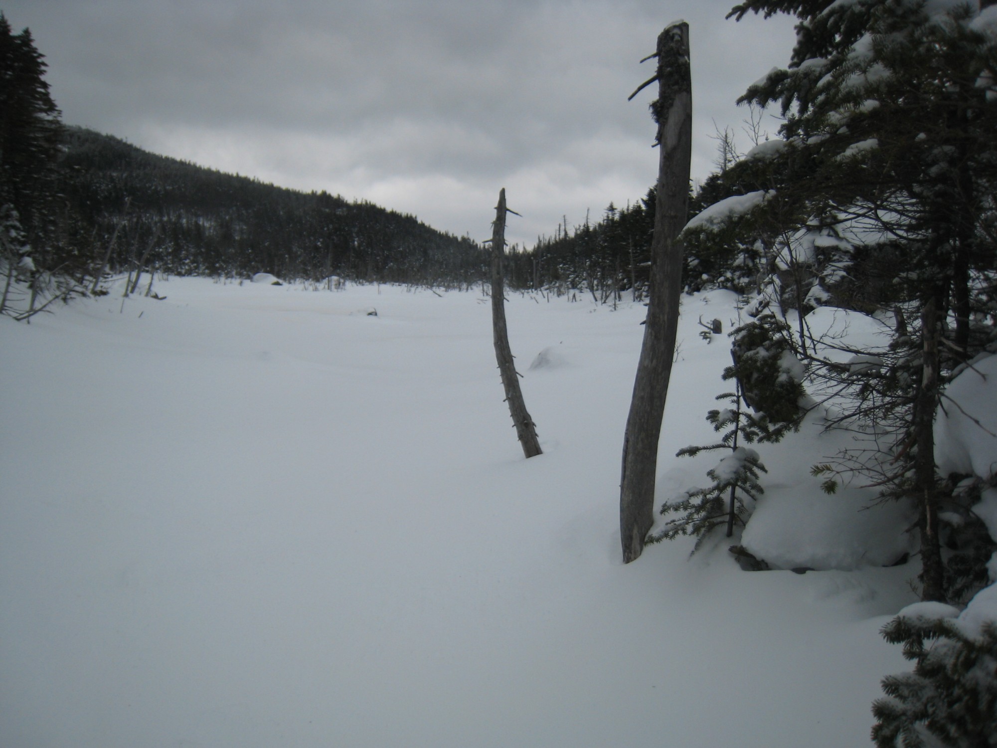
The source of the Hudson River: Lake Tear of the Clouds
The herdpath up Gray is moderately steep, gaining about 550 feet in less than half a mile. As we had gained elevation throughout the day, the amount of snow had increased. The trail was minimally packed and there was over a foot of snow off-trail. I was glad to encounter only a small amount of ice. Even so, I had to occasionally use my poles for added traction because of the steep grade of the trail. Boomer didn’t have any problems making it up. The summit of Gray is below treeline, surrounded by krumholtz, but still yields views of nearby Mount Marcy, Skylight, and, to the north, a myriad of other peaks.
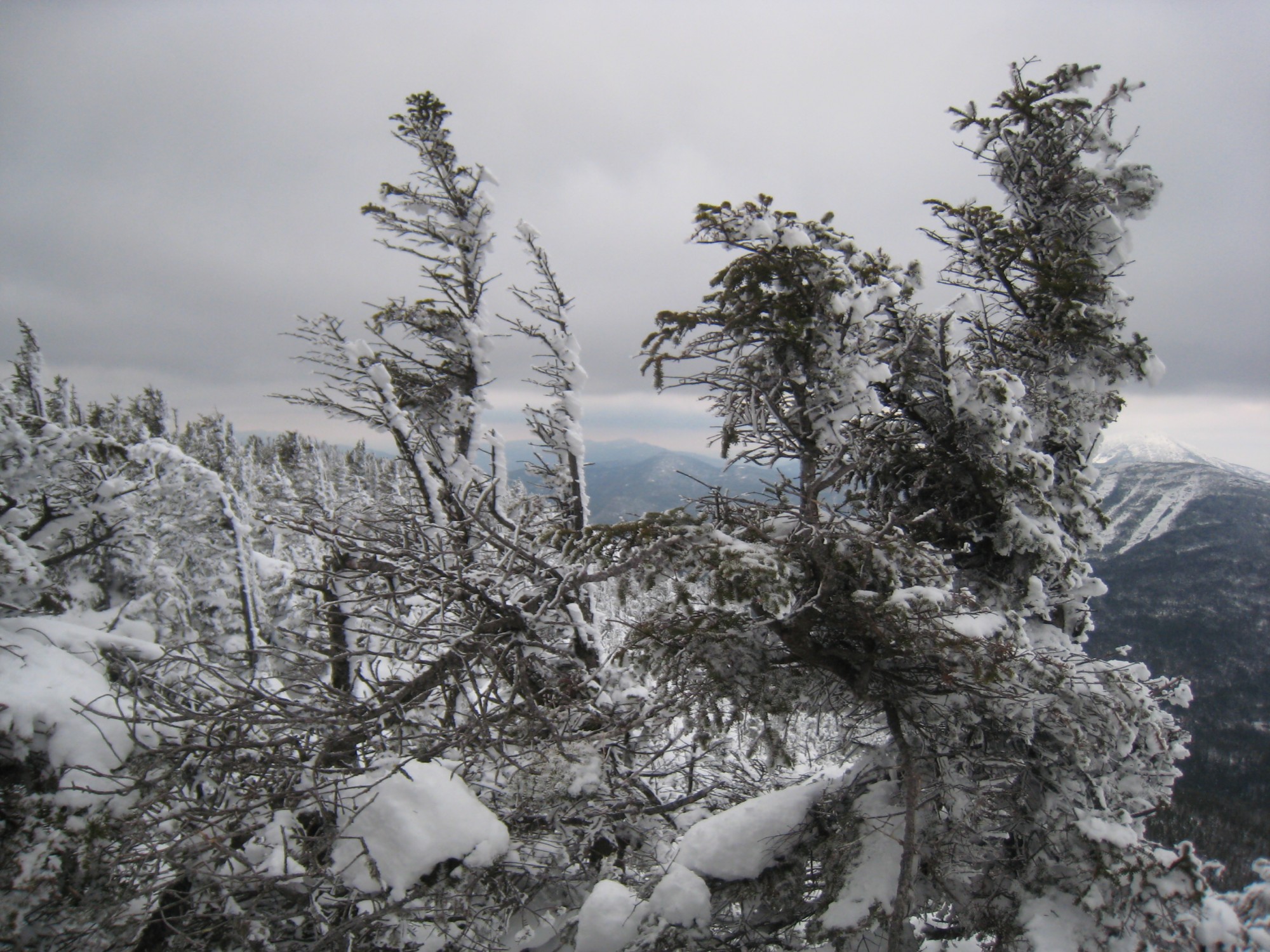
Battered krumholtz at the summit of Gray.
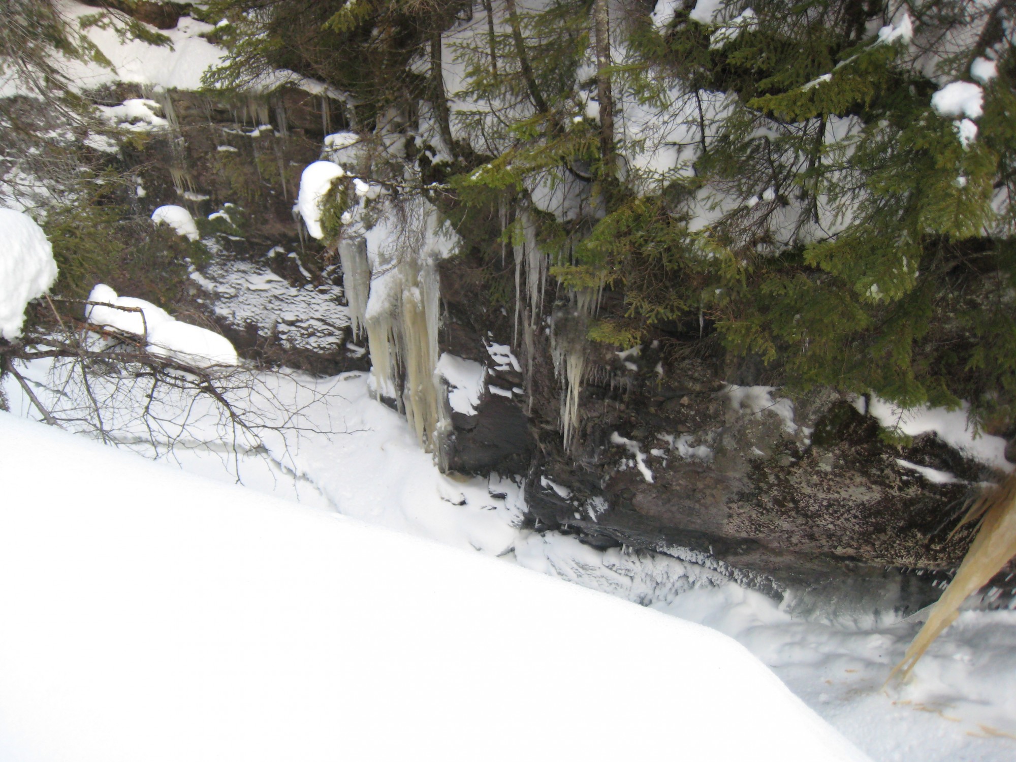
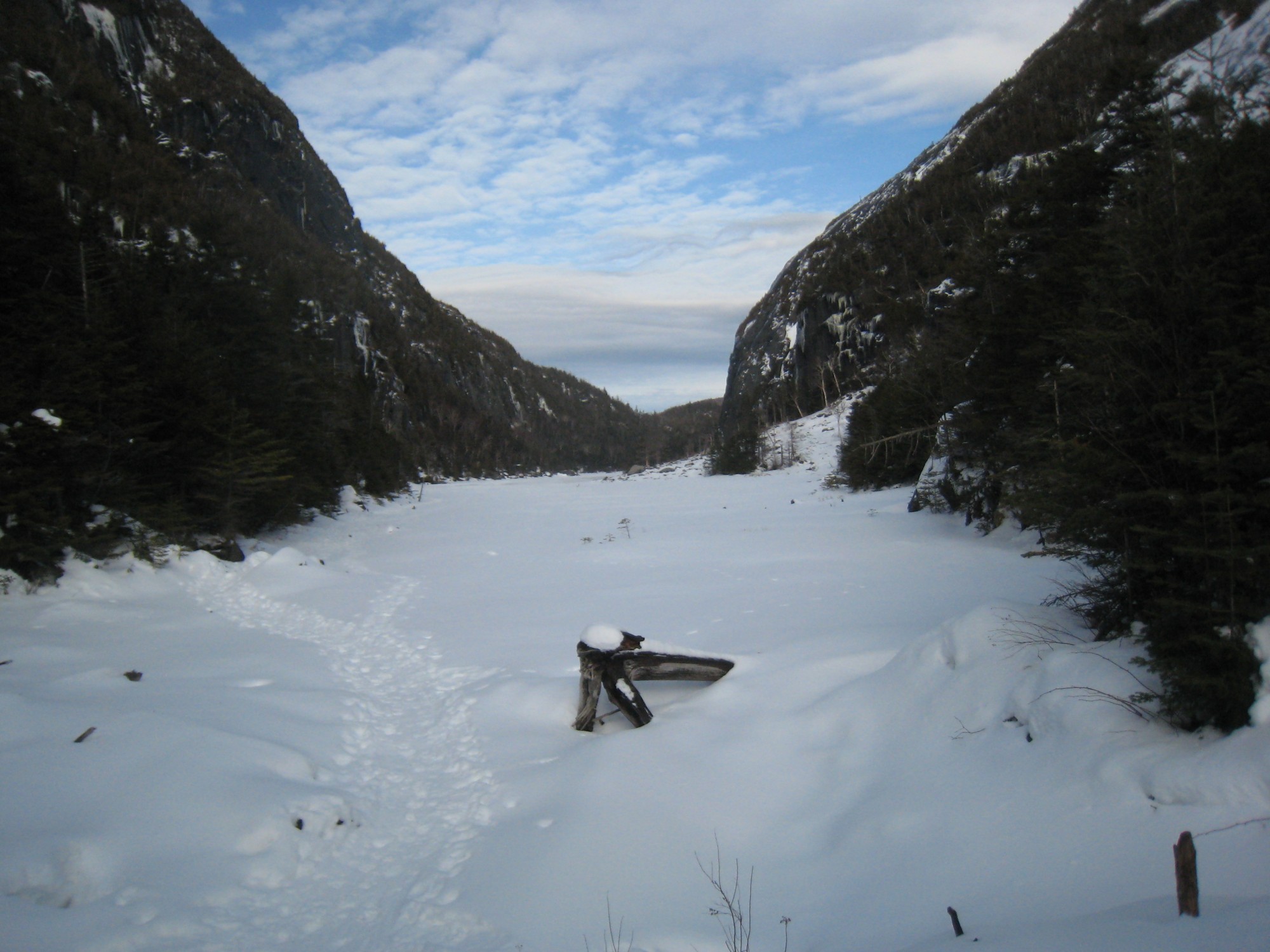
Uphill Brook flows through an icicle-crusted gorge.
I had considered climbing Mount Marcy next and looping back down to Marcy Dam, but with a blister on one heel from a poorly fitting sock, I decided that it was better to take a route with less climbing. Plus, I was excited to explore some new trails and check out a couple of frozen lakes that I knew would be beautiful. After retracing our tracks to Lake Tear of the Clouds, we headed east back towards Feldspar. At the intersection, we continued west towards Uphill Lean-to and Lake Colden. It was my first time on this portion of the trail and I was amazed to find that it paralleled a small gorge that Uphill Brook had eroded away in the rock. Icicles hung down from the cliff faces that reached up above the trail on the far side of the brook, as well as down in the gorge. Despite wanting to stand at the edge and peer down, I kept a judicious distance because I was worried about the snow giving way. It was a beautiful trail that headed predominantly downhill at an easy grade. As we descended, the weather warmed and the sun appeared. The warmth had snow dropping from the evergreen trees in large clumps and dripping little droplets of water.
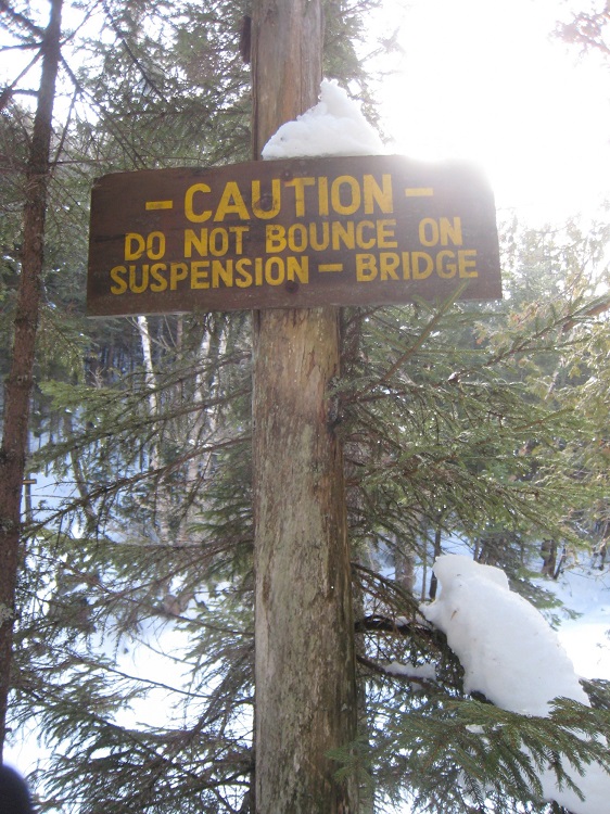
This warning sign was posted on both sides of the bridge.
Shortly before Lake Colden, the trail crossed Uphill Brook. When we came to the crossing, I paused and took in the scene: the water rushing over a thin layer of ice, the narrow suspension bridge, heavy with half a foot of wet snow, and the sign “Caution: Do Not Bounce on Suspension Bridge.” It was Boomer’s first experience on a suspension bridge and he was clearly out of his comfort zone, especially when it started to move and shake as I followed behind him.
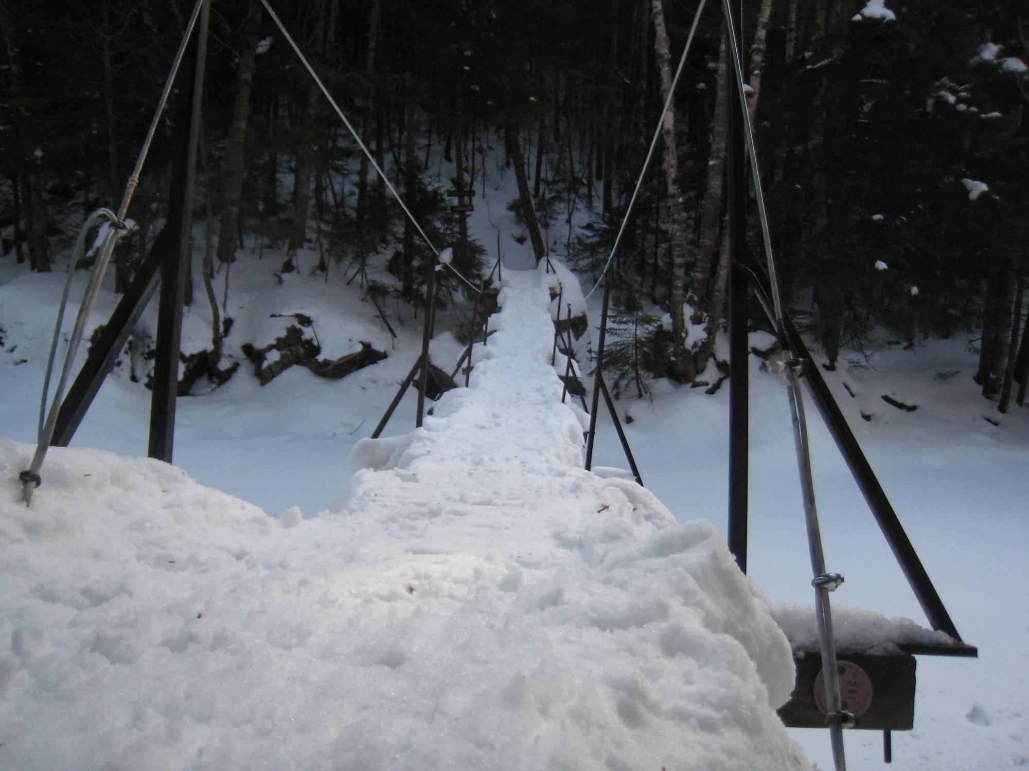
The loaded suspension bridge over Uphill Brook.
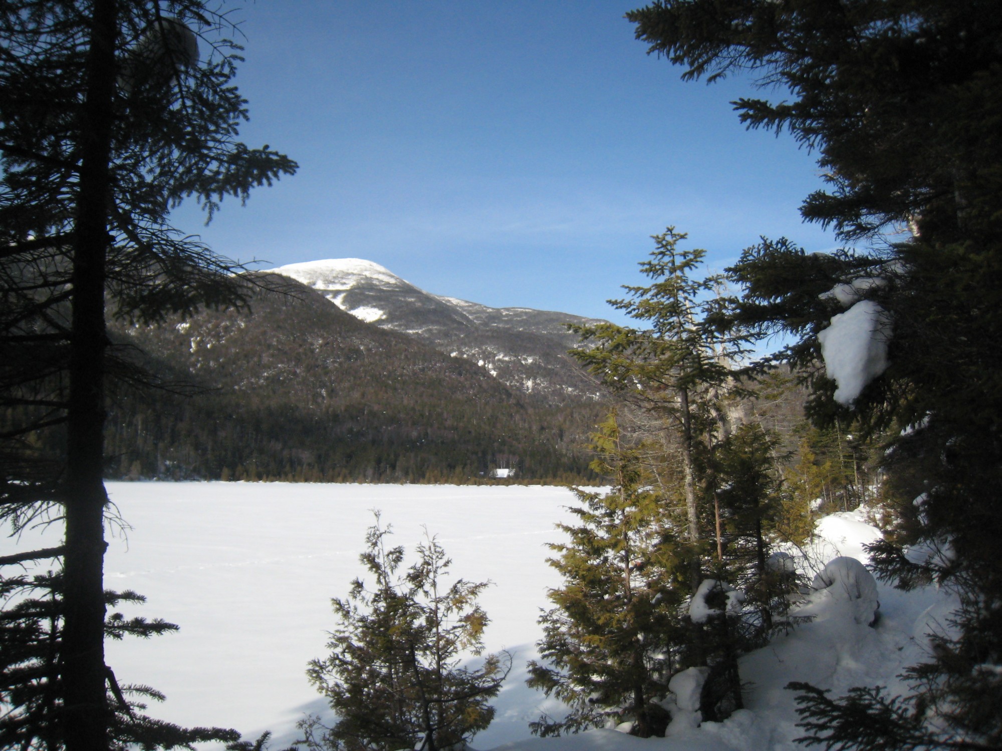
The view across Lake Colden
Lake Colden was a beautiful, snow-covered expanse with views of Mt. Marshall on the far side of the lake to the west. The sun lit the lake and the surrounding mountains in a light made all the more brilliant by the reflective snow. We started along the trail that follows the eastern shoreline of the lake, but I soon realized that we would make far better time just walking on the lake itself. Even though it was a warm day, temperatures had been consistently cold for the past few weeks, so I felt pretty confident walking across, following the tracks of skiers and other snowshoers. A quick walk through more woods brought us to breathtaking views from the south side of Avalanche Lake, which is closely surrounded by mountains and rock faces.
Avalanche Lake
The trail along the shoreline is rife with ladders and rocks and would make for challenging snowshoeing, so we headed straight across the lake. Unfortunately, the lake route was not as easy as I had anticipated. The warm weather had softened the snow considerably and the rocks surrounding the lake had helped to heat the surface to where it was wet and slushy. We both picked our way across, avoiding the melted spots as best we could. At the far end of the lake, we re-entered the woods and headed downhill towards Marcy Dam, passing several lean-tos and campsites along the way.
The impact of the warm day was really telling near the Dam, where we encountered the first bare ground of the day. Shortly afterward I removed my snowshoes and tied them to my pack. The trail was partly bare in some areas. I was tired by the time I reached my car at the Loj, but also content with the wonderful hike and the beauty that I had been able to witness. At the end of the day, I sat down with my map and tallied up our trip; my dog and I had hiked over 19 miles.
I love the route that we took, but for a shorter snowshoe, summiting Gray could be omitted to save several miles of uphill climbing. Another, even shorter option would be to just visit Lake Colden and Avalanche Lake. No matter the exact details, the stunning beauty of the area is something you will not want to miss.

I believe the Hudson River starts at Lake Henderson, Newcomb, New York, though the sourses, like all rivers, are numerous to the extent of being near infinite.
Very true, Drew. Lake Tear of the Clouds, on the slope of Mt. Marcy is believed to be the highest source of the Hudson River, but the Hudson River doesn’t actually get its name until Lake Henderson. As you mentioned though, rivers have so many sources that the true source can be difficult to spot sometimes. Thanks for sharing your thoughts!