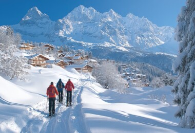
At first glance, West Yellowstone is a typical National Park gateway town—hotels, restaurants and cheesy tourist shops. But look closer and unique bookstores, gear shops, and great snowshoeing opportunities start to appear. After a day pushing down snow, get educated and view wildlife at the Grizzly and Wolf Discovery Center, catch a flick at the Yellowstone Imax Theater, or chow down on pizza at Wild West Pizzeria and Saloon or the Slippery Otter Pub.
While West used to be all about snowmobiles, and still is a hot bed of snowmobile activity, there are some great sled-free ski trails both inside and outside Yellowstone National Park.
With earlier and greater quantities of snow than anywhere else you can drive to in the Greater Yellowstone Ecosystem, you can almost always count on great snowshoeing around West Yellowstone.
For information on West Yellowstone check out the chamber’s website.
Refuge Point
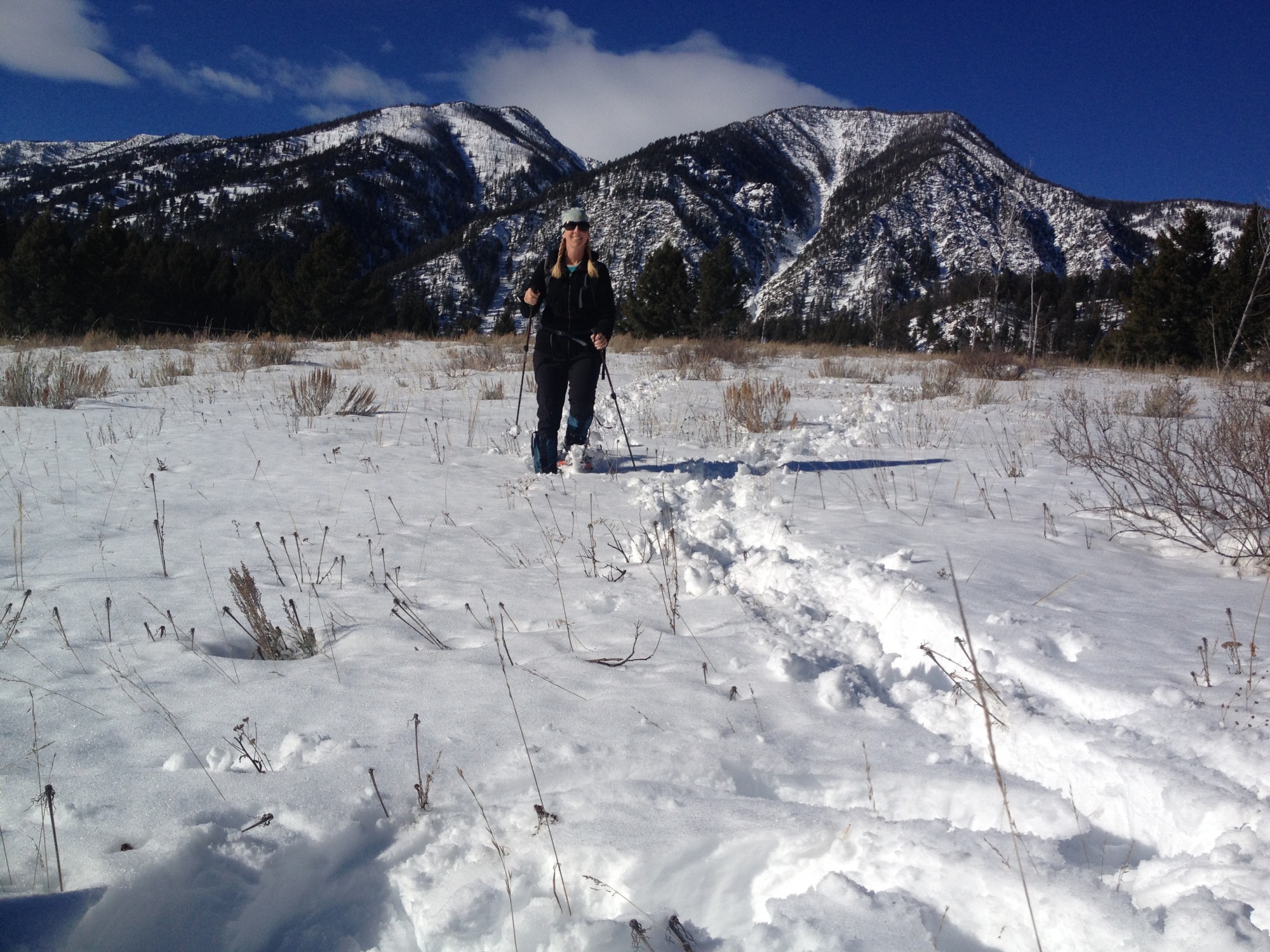
Trails are great, but there’s lots of off piste snowshoeing at Refuge Point.
Trail Report: A mellow 2.3-mile loop (made shorter by using the cutoff) rolls through Douglas-firs, lodgepole pines, and aspens above the Madison River with views of Earthquake Lake, Ghost Village, and the Madison Range.
Shoeing: The trail starts just right of the sign. Walk less than 0.5 miles to the Smokejumper Cutoff. We continue straight on the main trail to an overlook, a little less than halfway around the loop. Ghost Village and Quake Lake can be seen from the overlook.
Refuge Point was a vital meeting place after the 1959 Hebgen Lake Earthquake for many of the 250 people camped in the Madison River Canyon. The campers were trapped between Hebgen Dam and a massive rockslide. This ridge provided a place of protection during the night of August 17th for many survivors of the earthquake. The next morning, Forest Service smoke jumpers parachuted to this point and set up rescue operations.
Keep walking in the same direction and look for the Smokejumper Cutoff on your right at about one mile from the trailhead. Pass the cutoff and continue in the same direction 1.3 miles to complete the loop.
Getting There: From West Yellowstone drive north on Hwy 191 to Hwy 287—8.5 miles. Turn left and drive 9 miles to the plowed and signed pullout for Refuge Point (on the south side of the road).
Boundary Trail
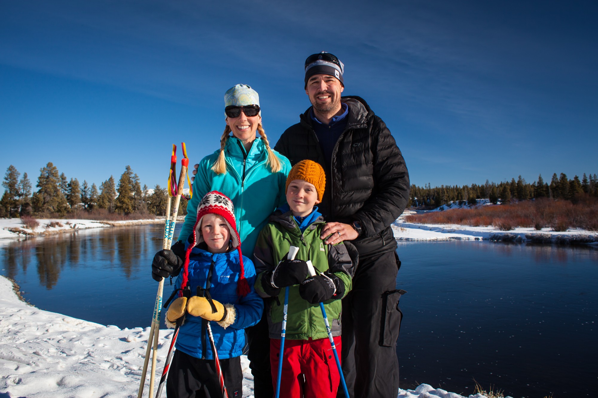
Baker’s Hole is the perfect spot for your holiday card photo.
Trail Report: The trail, groomed for both snowshoeing and skiing, starts out almost unbearably straight, following the boundary of Yellowstone National Park and National Forest land. Then it winds around taking in big views, drops down a hill, and ends at the lovely Baker’s Hole. It’s 2.9 miles each way. This tour can be done as a car shuttle or out-an-back trip.
Shoeing: Look for the trailhead signs at the corner of Boundary St. Walk through the opening in the fence and head north along the National Park Boundary. Gray pylons line the east side of the trail.
After about 1.5 miles of perfectly flat, perfectly straight walking, a steep cliff drops off in front of you. Head to the left (west) and follow the ridge for approximately another 0.5 miles enjoying views into Yellowstone National Park and of the Madison River below. You’ll see Sled Hill on your right.
Head down a wide hill and into a little shoot between trees and you’re in the campground. Follow the unplowed road past summer campsites. There are nice picnic spots in the campground for a snack or lunch break (You may want to dig out a picnic table). Either pick up a second car here or turn around and return the way you came.
Baker’s Hole was named after George Baker, a railroad engineer and occasional fishing guide in the 1920s. You may spot moose, bison or elk near the river. The upper Madison River is a spawning ground for brown and rainbow trout that swim up from Hebgen Lake to lay their eggs.
Getting There: The trail can be accessed at the north end of Boundary Street, the truck pullout on Highway 191/287, and Baker’s Hole Campground. I recommend parking on Boundary St. along the side of the road, being careful not to get in the way of any plowing efforts. (If you plan to leave a vehicle at Baker’s Hole, drive north from West Yellowstone on Hwy 191, 2.8 miles to a plowed pull-off on the right (east) side of the road.)
Riverside Trails
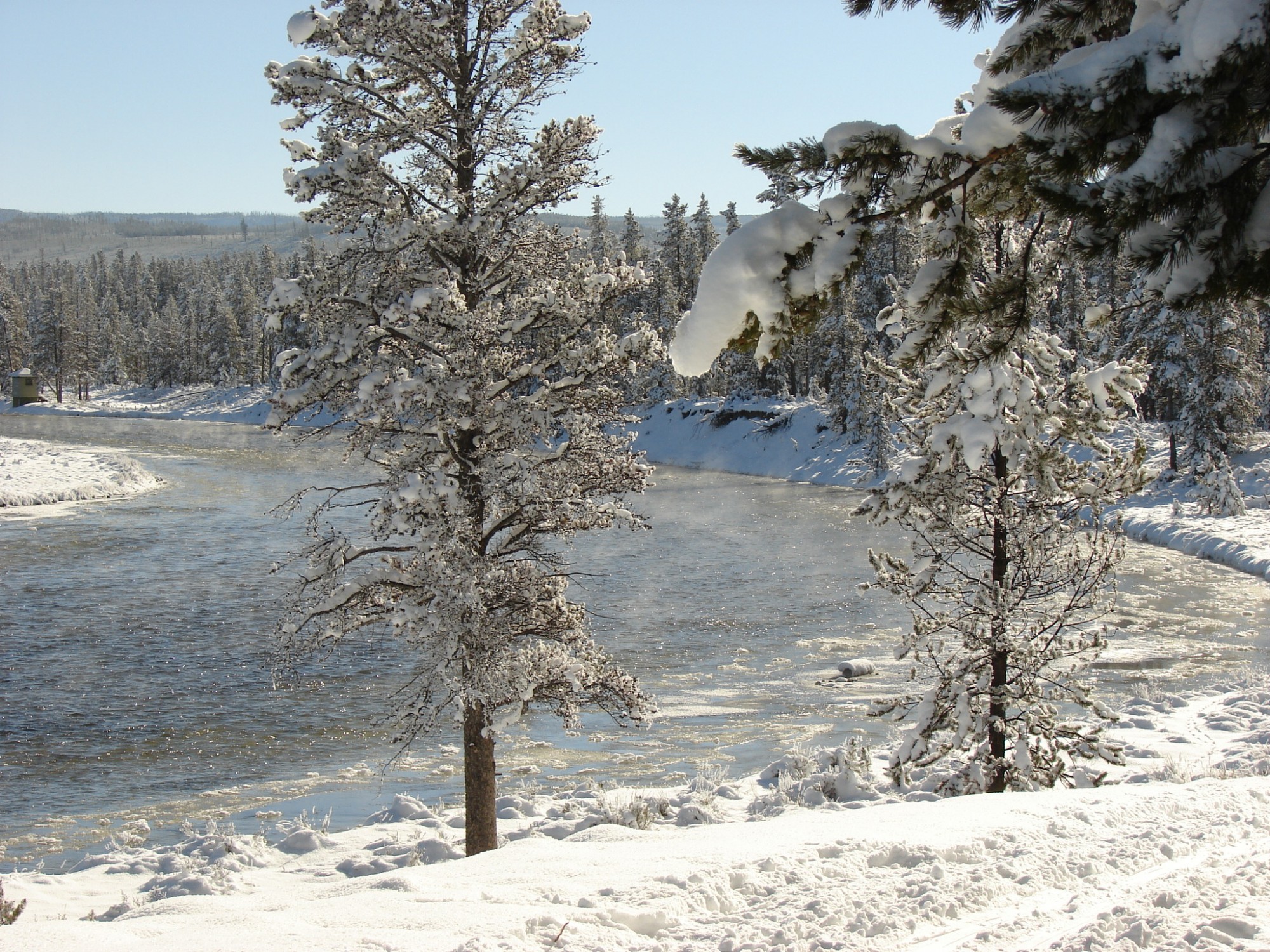
Plan for inspiring views along the Upriver Loop in Yellowstone National Park.
Trail Report: These loops start in West Yellowstone and head to the Madison River in Yellowstone National Park. Enjoy great views of the Gallatin Range and the likelihood of spotting elk, bison, moose, bald eagles and waterfowl. There are a couple options: The Access Trail is one mile each way and you’ll need to use it to access either loop (hence the name.) The Downriver Loop is 3.7 miles from Access Trail junction and the Upriver Loop is 1.6 mile loop from Access Trail junction. You can walk either one or link them together.
Shoeing: From the trailhead walk east along the power line on the very flat and very straight Access Trail. At 0.25 miles you’ll pass a trail register and at 1 mile you’ll reach the junction with the Downriver and Upriver Loops, as well as cutoff trail (actually an unplowed road) that meets up with the West Entrance Road.
Downriver Loop: Veer left at the junction and head down the hill towards the Madison River. You’ll cross an open meadow at the Barns Pools (where the grooming stops) and then wind along the Madison River. The Barns Pools are named for the barns that used to stand there. This is where the Yellowstone Park Company kept their stagecoach horses. Later the barns were used to service buses heading into the Park.
At 1.25 miles from the junction look for a sign that reads “Cutoff.” If you ski past the cutoff, continue for 1.3 miles until the trail loops back to the top of the hill. Watch for the orange markers on the trees. It is 1 more mile to the Access Trail.
Upriver Loop: Walk to the right on the road briefly, looking for the trail through the trees on the left. The trails winds through lodgepoles on a bench above the river. At about 0.5 miles drop down a steep 60 yards. In another 0.3 miles you’ll reach the Madison River. The trail follows the river downstream to the end of the loop and a mellow climb back to the bench where you’ll meet the Access Trail.
Getting There: The trails start on the east side of Boundary Street between Yellowstone and Madison Avenues. Look for the trail sign through a gap in the snowbank.
Gneiss Creek
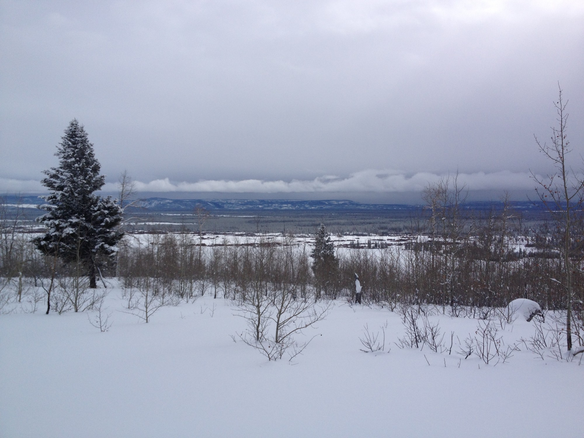
Deep snow and expansive views epitomize Gneiss Creek in Yellowstone National Park.
Trail Report: This trail can be a short and mellow, 3.6 mile round trip tour, leading to a spring heavily used by wildlife throughout the winter, or a 21-mile slog to the West Entrance Road in Yellowstone and back into town.
Shoeing: From the north end of the parking area, walk up a small incline and past the trailhead sign. Head east across an open meadow, keeping an eye out for elk and bison to the south around Richards Creek.
After cruising through a small stand of trees, you’ll come to an open hillside on Fir Ridge. Head downhill—gently at first—and then down a steep drop to Campanula Springs. This is a good spot for a snack and the end of our tour.
The Gneiss Creek Trail can be followed all the way to the West Entrance Road—14 miles total. There are orange markers on the trees, but they are hard to follow. And since this trail gets little winter use, you’ll likely be breaking trail. Make sure you have a GPS or map and compass and the skills to navigate in the backcountry.
The trail itself is pretty mellow. It runs through rolling meadows and open forests. You’ll cross several creeks which may or may not have enough snow to form snow bridges.
Upon reaching the West Entrance Road you’ll either need to walk seven miles to the West Entrance Station or have arranged for transportation ahead of time with an over-snow vehicle.
Getting There: From West Yellowstone, drive north 10.5 miles on Hwy 191 (38.4 miles south of the Big Sky turnoff). Look for a sign for the Fir Ridge Cemetery on the east side of the highway. Turn east and drive into a large plowed parking area.
Thanks, Karen! Definitely put it on your list!
Beautiful photo! Especially the family pic. : ) I so want to go there in winter now!!!