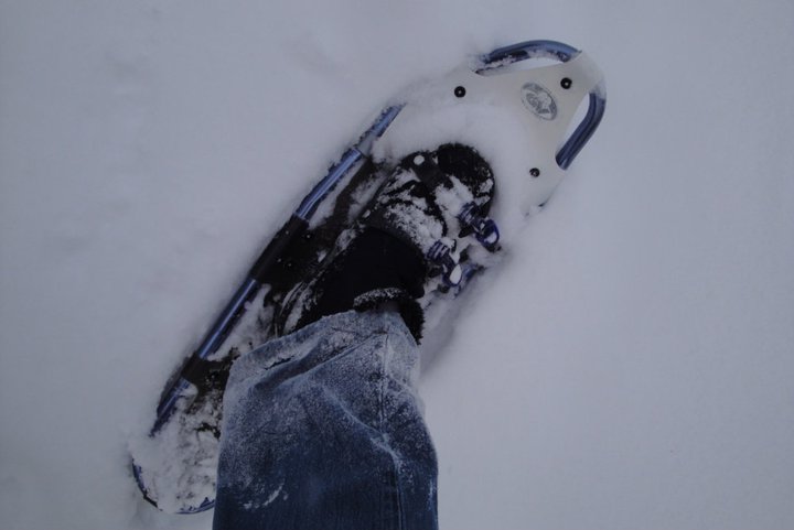
Government Camp is a town adjacent to Oregon’s Mt. Hood National Forest and the area is loaded with opportunities to snowshoe at all levels of skill and endurance. The approach is via Route 26 and the Mt. Hood Highway and the trails described below all originate within a few miles of each other.
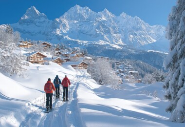
 If you love the mountains, this area is for you: some of the trails deep in the woods and some that will give you a view of spectacular Hood summit. There are accommodations in Government Camp and also on Mt. Hood itself. Visit www.trails.com to view topological maps of the area and see details on lodging in the area.
The season runs December through March for most of these outings, shorter or longer depending on the trail.
BARLOW PASS
This six-mile point-to-point trail uses the Pacific Crest National Scenic Trail and is classified as a more difficult route, with trailhead elevation of 3,900 feet, gaining to 4,500 feet. Crossing over from Twin Lakes to the pass you will pass through the rugged wilderness of Mt Hood’s lowlands and climb up from Wapinitia Pass to be surrounded by the beauty of Oregon’s evergreen forest. This route is a wilderness enthusiast’s dream.
FROG LAKE
If you want something a bit gentler and don’t mind sharing your outing with snowmobiles and families with children, Frog Lake is perfect: with a trailhead elevation of 3,952 feet, gaining to 4,000 feet.
This is a popular snow-park, the route out-and-back, so best to hit this area on a weekday when it is not as busy as on the weekend. Snowmobiles do pack down the trail, though, which makes it ideal for novices and children. Skill level is rated easy, with total distance at 1.5 miles.
MIRROR LAKE
This loop trail is another easy outing with a great view of Mirror Lake. The trailhead lies at 3,400 feet, gaining only to 4,100 feet and the route is three miles total. You are near enough to the town of Government Camp to be there in minutes for lunch or hot cocoa when you finish up back at the trailhead. You are not far from the ski areas at Mt. Hood in case you plan a little descending as well.
 TOM, DICK AND HARRY MOUNTAIN
Yes, that’s its real name and it is known for being steep with multiple switchbacks, so be warned it can get rutted pretty quickly. Rated as more difficult, this is a spectacular location along the ridge and it faces the southwestern slopes of Mt. Hood.
Determined snowshoers will find this route worthwhile and may see some telemark skiers in the powder bowls below the ridgeline. The trailhead elevation is 3,400 feet, rising to 5,066 feet and this is an out-and-back route.
TRILLIUM LAKE LOOP
If you are looking for the view, try this five-mile loop trail rated as moderate. The lake is broad and the bulk of Mt. Hood beyond is spectacular, making this trail a winter favorite.
The trailhead lies at 3,800 feet with no rise, so as long as the distance works for you, you’ll not be too taxed in the process. If you think you’ve seen this view of the lake and the mountain before, think calendars, postcards.
WHITE RIVER
This out-and-back trail at White River Snow Park is the spectacular view you’ve been waiting for. Rated more difficult, the trailhead lies at 4,200 feet, rising to 4,800 feet and you will be facing the grandeur of Mt. Hood squarely just about the whole distance.
Take the camera on this one. From the parking lot the trail is heavily used on weekends and holidays, but once you get out about a half-mile, you will have left most of the people behind.


Leave a Comment