Less than 30 minutes from Los Angeles, California, the Angeles National Forest offers a variety of recreational opportunities.
The San Gabriel Mountains loom over the valleys of the Los Angeles basin, beckoning all outdoors people to hike and mountain bike in the summer and ski and snowshoe in the winter. During the winter, views of snowcapped peaks tempt snow lovers to leave the valley below, searching for snow-covered trails.
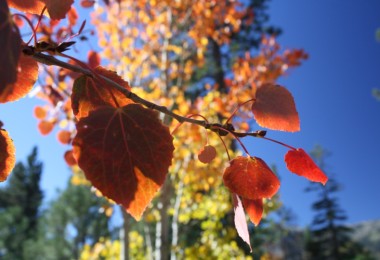
An hour-long drive east on Highway 2 (the Angeles-Crest Highway) from La Cañada Flintridge will take you above 6,000 feet. Here, storms can often dump several feet of snow during a wet winter. Usable snow can fall as early as December and as late as May. I find it difficult to skip a weekend playing in the powder when I know a snowstorm recently passed through.
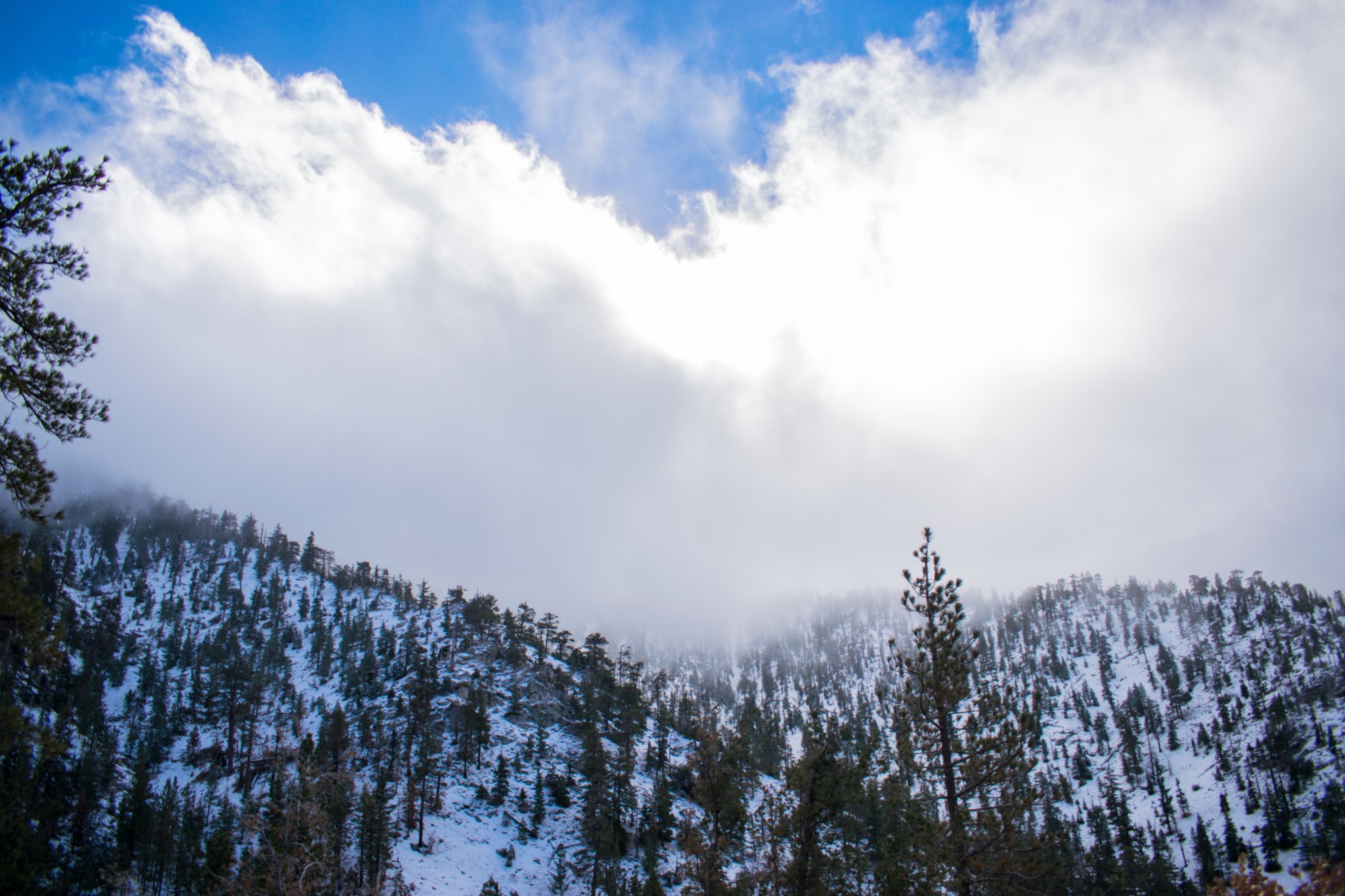
Above 6,000 feet, you’re apt to see snow in the Angeles National Forest. Photo: DavidDiaz_Official via Shutterstock
Trails to Explore
The Angeles National Forest in southern California has many fire roads that are great for snowshoeing and cross-country skiing. The forest also offers many prime locations for snowshoers of varying experience levels. Since the terrain varies, snowshoers can find any level of workout available.
Chilao Visitor Center
The Chilao Flats area is appropriate for beginners. Located between 5,000 and 6,000 feet, flat and gently rolling terrain is a welcome sight to those still getting used to their snowshoes.
Unplowed parking lots and roads are great for practice or a less intense workout. Or, try the interpretive trails near the Chilao Visitor Center.
The Visitor Center is also open Saturdays and Sundays from 10 am – 3 pm and is an excellent resource for suggestions. On several days, I snowshoed and explored the Chilao Flats area. It was refreshingly quiet, the silence occasionally interrupted by chirping birds and curious squirrels. I recommend the area for a meditative and relaxing stroll in the snow.
Read More: 7 Beginner Snowshoes for Varied Terrain
6000′ PCT Trailhead
For more elevated winter play, try the 6000′ PCT Trailhead. This area is a popular trail for snowshoeing and other winter activities. There is a large parking area near the 6,000 feet elevation marker, and the Pacific Crest Trail (PCT) crosses the road. After a snowstorm, there will be children sledding near the parking area. But leaving them behind won’t take long in your search for untouched snow.
Read More: Mt. Pinos: Peace Among the Pines in Padres National Forest, CA
Mount Waterman
Continuing a few more miles east on Highway 2, you’ll find the Mount Waterman Ski Lifts. About a half-mile beyond Mount Waterman is a winding fire road excellent for snowshoeing. I’ve met many nordic skiers on this path. When meeting others on the trail, remember your winter trail etiquette. The road winds uphill through the forest to nearly 8,000 feet. Thus, the workout is spectacular, and the scenery is beautiful.
Islip Saddle Trailhead
About seven miles east of Mount Waterman, Highway 2 intersects with Highway 39 from Azusa. Here you’ll find the Islip Saddle Trailhead. The trail is unfortunately temporarily closed due to fire. But typically, be on the lookout for Desert Bighorn Sheep that frequent the surrounding cliffs. Also, remember Highway 2 closes in the winter beyond Islip Saddle. You can park before the closure, but the road beyond will be unplowed. You can also snowshoe on the closed section of the road.
Read More: El Nino Snowshoeing in the Laguna Mountains of San Diego
Pacific Crest Trail (PCT)
You can also snowshoe the Pacific Crest Trail (PCT) for more strenuous exercise and a challenge. Just head south up the mountain near the Islip Saddle Trailhead.
However, I only suggest snowshoeing the PCT with poles (one or two) and sure footing. So, if you haven’t yet found balance in your snowshoe, skip this trail in the winter.
The trail can be very narrow and slippery or iced over, and I’ve snowshoed it in varying conditions. However, if the trails are iced over, you’ll want to leave your snowshoes and bring a traction device like Yaktrax (see our review) or Kahtoola (see our review).
Furthermore, winds from the desert blow from the north and over the saddle, creating very cold and windy conditions. The cloud cover can change quickly and dramatically. I hiked there on a beautiful calm day only to return to a snow-covered car. Always be prepared with severe weather gear.
Read More: How To Choose a Trail: Tips For When You Need Snowshoes
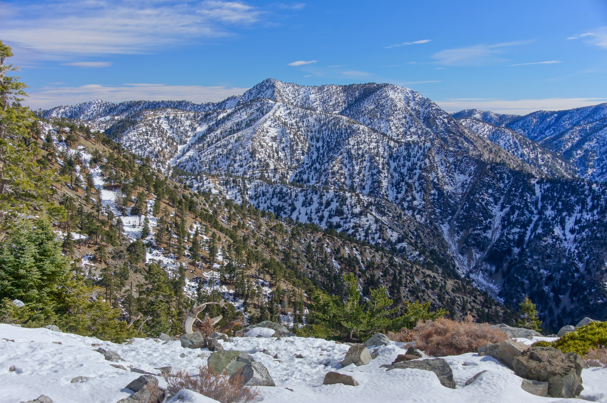
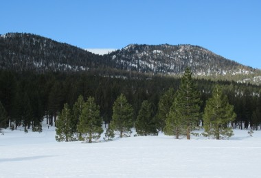
One snowshoeing option in the Angeles National Forest is near Mt Baldy, pictured here. Photo: yhelfman via Shutterstock
Mount Baldy Area
Mount Baldy is also a good place for snowshoeing in southern California in the Angeles National Forest. The ski area is accessible by heading north on Mountain Avenue from Interstate 210 in Upland. Mountain Avenue turns into Mount Baldy Road and dead-ends at Mount Baldy Ski Lifts.
San Antonio Falls Road is on the left side of Mount Baldy Road, just below the ski area parking lot. Snowshoeing only a half-mile up the gated road will bring you to scenic San Antonio Falls. However, snowshoe the trail to the top, and you’ll find the Mount Baldy Lodge, where I’ve warmed up with a very welcomed cup of pea soup.
For additional suggestions in the area, contact the Mt Baldy Visitor Center, typically open on Saturdays and Holidays from 7 am – 2 pm.
Read More: Drinks for the Apres Snowshoe Experience
Grassy Hollow Visitor Center
East of Islip Saddle is Wrightwood, California. Unfortunately, due to the winter road closure, Wrightwood has to be approached by driving west about six miles on Highway 2 from its intersection with State Route 138. Drive approximately three miles past the Mountain High Ski Area, and you will reach the Blue Ridge and Pacific Crest Trails parking lots. Continuing on Highway 2, you will find the Grassy Hollow Visitor Center just around the bend.
Though the Visitor Center is closed, the parking lot to the PCT and the Grassy Hollow Visitor Center have fire roads and trails leaving from their vicinity. I’ve enjoyed many days exploring the Grassy Hollow area. For example, snowshoeing from Grassy Hollow to the Jackson Flat campground, I’ve seldom passed other hikers or snowshoers. Jackson Flat is peaceful in the wintertime. Be alert and look for wildlife; I once saw a bobcat racing through the snow.
Read Next: Big Bear Lake: Snowshoeing Southern California’s Mountain Outpost
Vincent Gap
Pass Grassy Hollow, and you’ll find the other end of the Highway 2 winter closure at Vincent Gap. The unplowed road beyond the closure is another spectacular place for endless snowshoeing. You’ll tire out before you run out of trail or snow. Two parking lots are situated right before the closure, and trails leave from both parking lots.
Read More: The San Gorgonio Wilderness
Recommendations Before Heading Out
Buy a topographic map at a sporting goods store or My Topo and take it with you on every outing. If you choose a fire road above 6,000 feet (and even as low as 5,000 feet during some winters) on a north-facing slope, there’s a great chance that you’ve found a useful snowshoeing trail.
Winter hiking is still enjoyable even when snow is scarce and down to a few inches. There are a few rocks and ruts. If there has been a rockslide, it usually is evident and avoidable. Avoid these obstacles (and other winter hazards), and your snowshoes and ankles will thank you.
Tire chains are sometimes necessary and may be required. During the winter, keep chains in your car when traveling in the mountains. I usually wait until winter storms have passed before heading to the mountains. This strategy allows the plows to clean the roads without interference from vehicles that don’t need to be there. If you want to know how much snow is covering the mountains before driving to the forest, check the snow reports for Mount Waterman, Mountain High, and Mount Baldy.
Finally, a parking pass is necessary to park on national forest lands. Purchase a pass online. Then, grab a map (know how to read it) and your snowshoes, and you can discover more snowshoeing opportunities on your own. Remember to leave no trace and pack out what you packed in. Preservation of this heavily used national forest is essential.
What areas have you snowshoed in the Angeles National Forest or southern California? Please share your thoughts with us in the comments below.
This article was first published on September 20, 2004. It was most recently updated and republished on October 8. 2022.
Read Next: Top 10 Snowshoe Tips for First-Timers
Leave a Comment