We know you love the deep woods, but there are plenty of wooded trails to try in the Mid Coast part of Maine, even a few toward the southern end of the state. If you grew up skiing downhill in this state you are familiar with the term chopped ice, as opposed to powder. And you know about glare ice. Chopped ice is glare ice after it has been groomed by the machines thundering over the mountains. Even when you hit the slopes after a snowfall you will still find ice under that newly groomed snow as the hoards wear down the surface.
Snowshoeing, on the other hand, makes sense here in the Northeast. You are mostly packing your own trail, or following someone else’s tracks and there are no hoards. Occasionally you will find a groomed surface, but mostly it is you and others like you doing the grooming. If you’ve got snowshoes for a groomed surface, bring them along, as you may hit both packed surface and powder.
For maps and more complete information visit www.snowshoes.com.
Mackworth Island
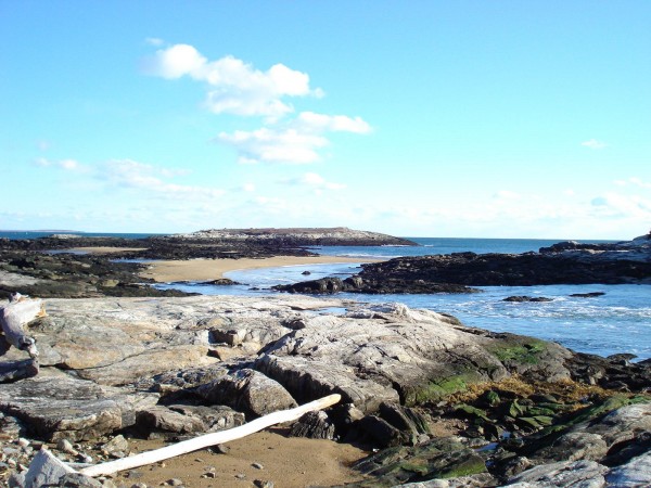
If you’ve never snowshoed on an island, here’s your chance. Not far off I-295’s Falmouth exit (# 9 onto US-1) you will see a sign for Mackworth Island, which lies at the mouth of the Presumpscot River. This is an easy trail of 1 mile with scenic views of Casco Bay all the way, a good trail to warm up on. There is no elevation to speak of.
Ridge Trail
In nearby Freeport, The Maine Audubon Society’s Mast Landing Sanctuary offers three miles of trails through the woods and fields near the location where ships used to pickup and deliver lumber to be used as masts for sailing ships generations ago. Trails are easy to follow and if you forgot anything you are less than two miles from L.L. Bean’s flagship store, open 24 hours. Ridge Trail is 1.6 miles in a loop, rated easy, with minimal elevation and a trailhead at 90 feet. This trail is just off I-295 in Freeport.
Wolf Neck Woods State Park
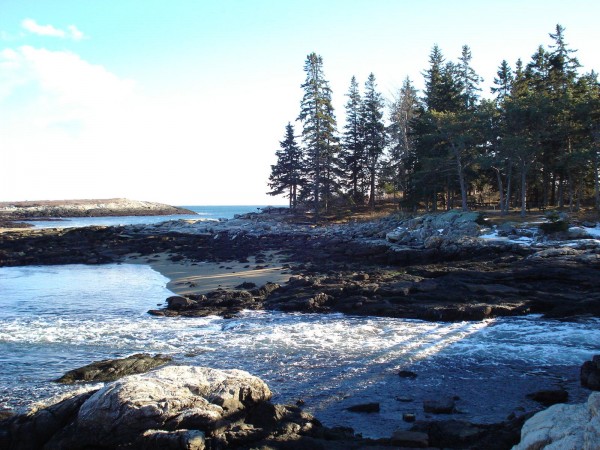
Here is another scenic and easy outing in Freeport, 2.6 miles in a loop with minimal elevation. The trek will take about three hours. The park encompasses over 200 acres of woods and shoreline, with five miles of trails along the Harraseeket River and Casco Bay. You’ll be packing your own trail through forest and along the shore, linking the Casco Bay and the Harraseeket Trails for a super outing. The short park access road is not plowed so you’ll be trekking your way in.
Tote Road Loop
Bradbury Mountain in nearby Pownal, just off I-295 south of Brunswick, used to have downhill skiing in the 1940s but now offers nearly eight miles of cross-country ski and snowshoe trails through 500 acres, with 484-foot Bradbury Mountain being the main attraction. Bradbury Mountain State Park is one of the original five state parks in Maine and lies between Lewiston-Auburn and Portland. Trails are well marked with blazes and mileage and the surface is groomed after storms. Tote Road Loop Trail is 2.6 miles, rated as more difficult with a trailhead elevation of 300 feet and will take you about one-and-one-half hours. If you want to go up the mountain you’ll be working hard on ungroomed surface.
Mere Creek
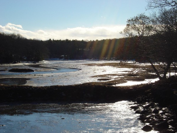
This trail opportunity is a few miles north east of Freeport and Pownal and on the peninsula that makes up the town of Harpswell, just outside Brunswick. The area is the rolling acreage of Mere Creek Golf Course, 205 miles total, rated moderate. You’ll gain 150 feet in elevation overall and trek along salt marsh at the head waters of Mere Creek. This is wide open and you’ll see gulls and birds everywhere. This is another opportunity just off I-295, at the Bath-Brunswick exit, following Pleasant Street, right onto Maine Street, and then Rte. 24 South about five miles to signs on the left for Mere Creek Golf Course.


Leave a Comment